Loading 3D models...
Tulul adh-Dhahab, Zarqa Valley - Esri imagery
by archaeobotics in cultural-heritage-history
1,041,480
Faces
522,288
Vertices
0
Textures
Free
Download
Description
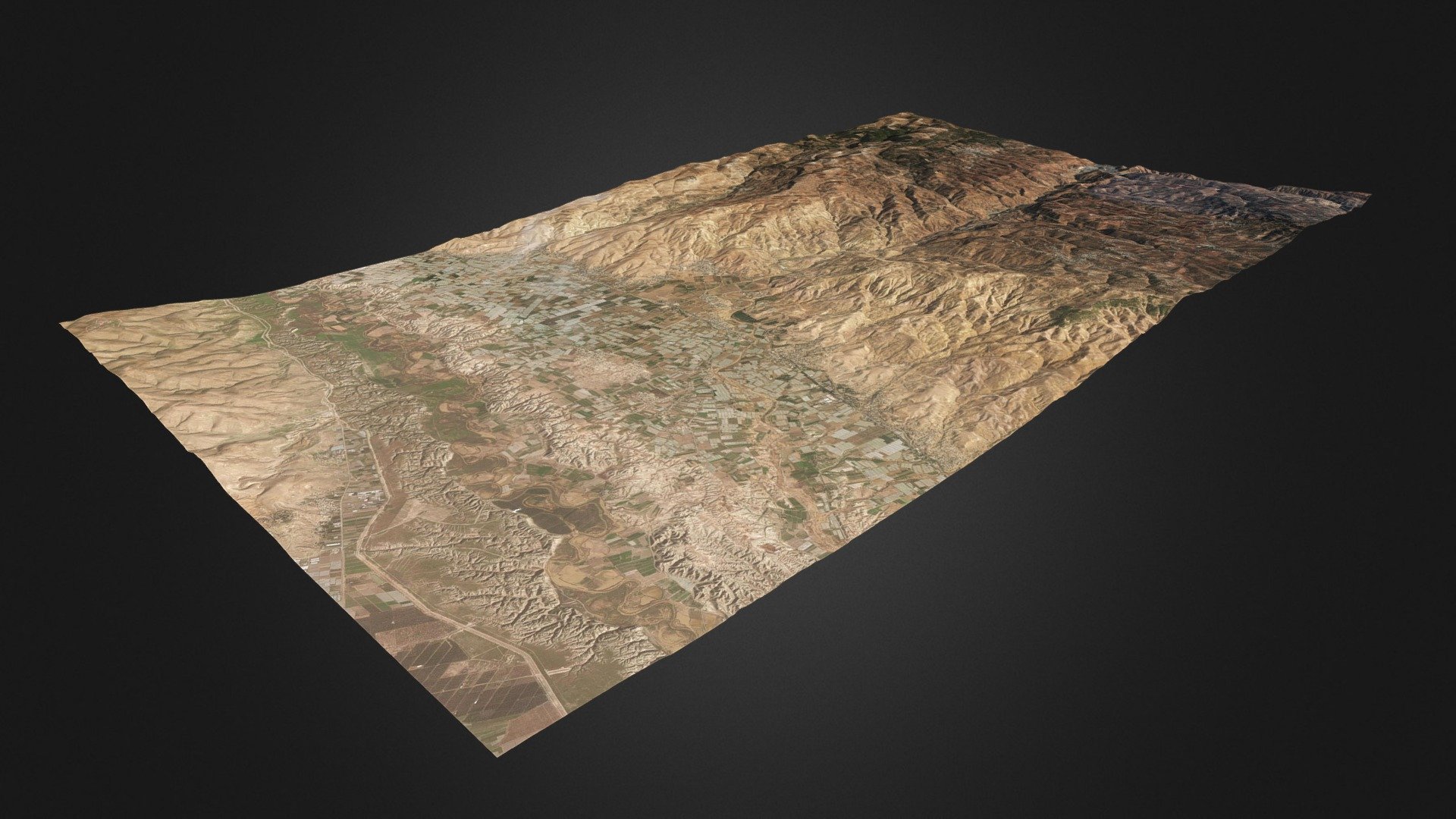
Landscape around the lower Zarqa river valley, from the foothills of the West Bank to the Jordan Highlands, including the Jordan Valley, the Ghor al-Urdun. In the center of the map the Tulul adh-Dhahab (https://en.wikipedia.org/wiki/Tulul_adh-Dhahab). * Generator: [DEM Net Elevation API](https://elevationapi.com) * Digital Elevation Model: [SRTM_GL1 OpenTopography](https://opentopography.org/) * Imagery: [Esri World Imagery](https://services.arcgisonline.com/ArcGIS/rest/services/World_Imagery/MapServer)
Technical Details
Related Models
GALLERY V
1,333,968 faces
Free
Tulul adh-Dhahab, Zarqa Valley - MapBox imagery
1,041,480 faces
Free

4 5 Frames Sculpture
357,355 faces
Free
I.G. Prence Smoking Pipe
95,754 faces
Free
Research Institute Sklifosovsky
271,331 faces
Free
Historic Ceramic Pitcher
467,875 faces
Free
Mummified Opposum (aka CAPacabra)
710,851 faces
Free

HOLLYWOOD
313,031 faces
Free