Loading 3D models...
Siurana, Girona
by cmrizzo in nature-plants
234,520
Faces
117,630
Vertices
0
Textures
Free
Download
Description
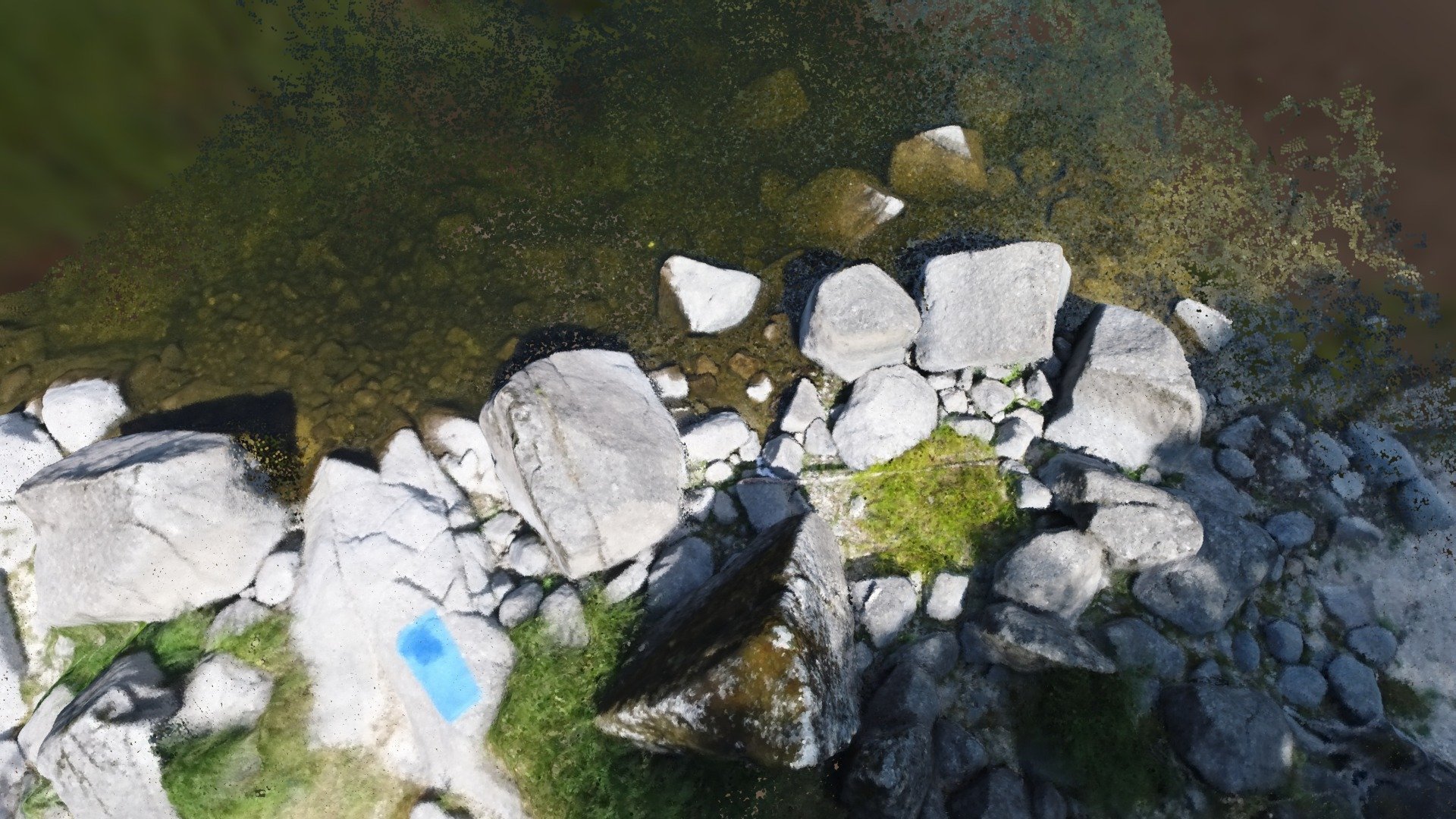
3D model of a photogrammetric survey made with the Mavic 2 zoom drone in Siurana (Girona). We took 6 control points with a GPS surveying station and the flight was made at 65 meters high, in 12 minutes of flight and we obtained an orthomosaic of 2, 3 cm / pixel.