Loading 3D models...
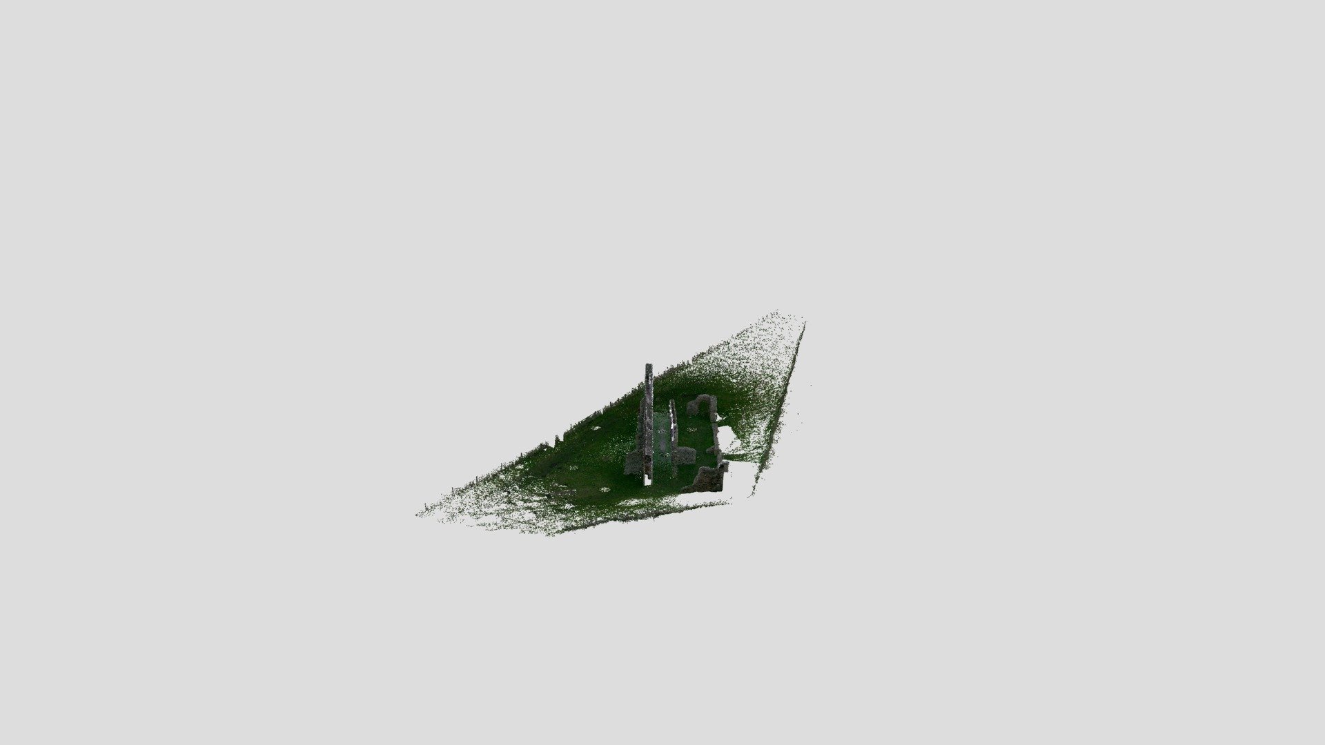
Lanyon Quoit - point cloud
by PenwithLandscapePartnership in cultural-heritage-history
0
Faces
1,773,989
Vertices
0
Textures
Free
Download
Description
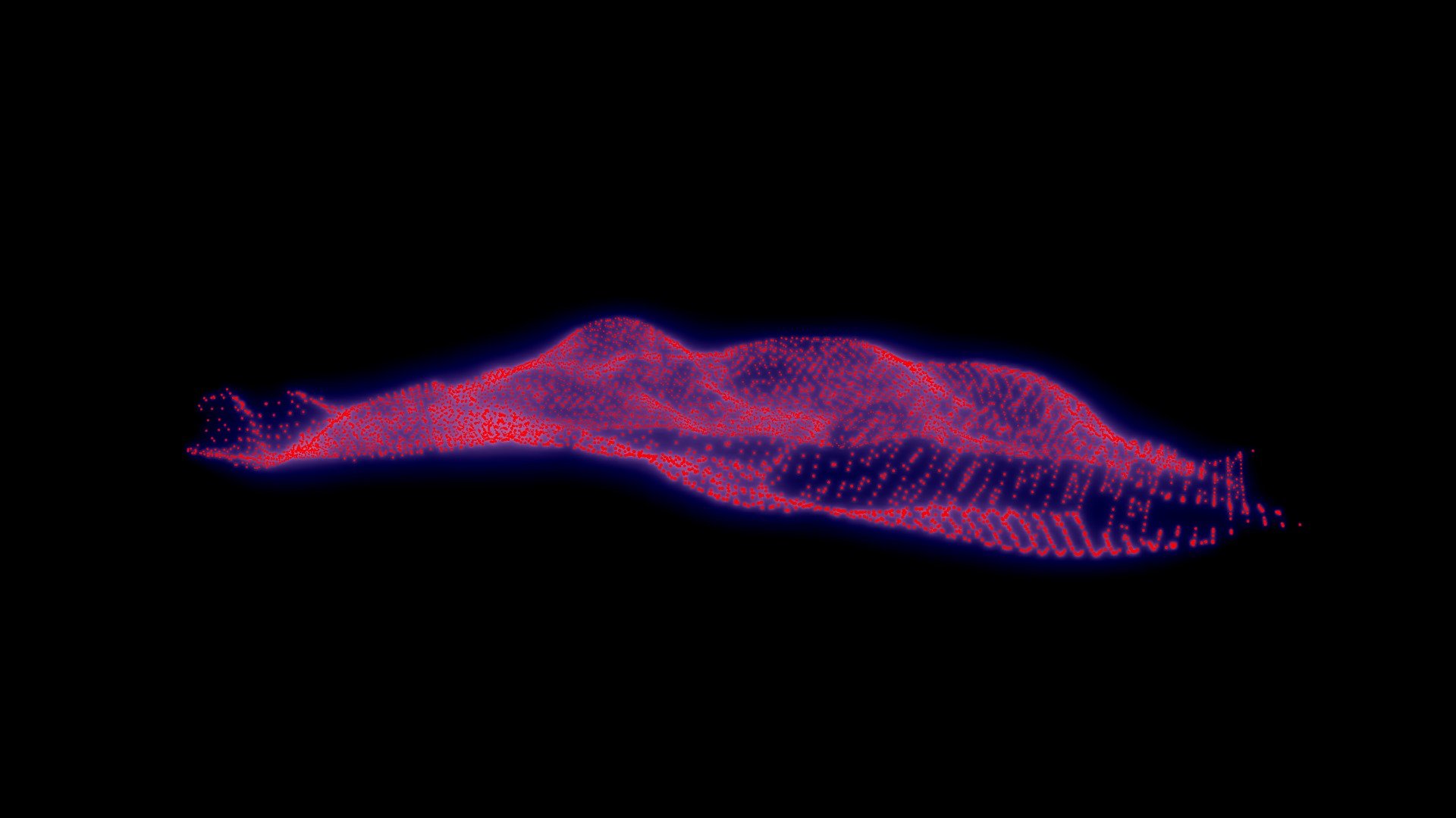
Neolithic quoit between Morvah and Madron in West Penwith, Cornwall UK. The quoit collapsed in 1815 and was rebuilt in 1824. Originally it had four upright supports, but only three were used in the reconstruction. This 3D scan revealed the date AD 1824 carved into one of the supporting stones. This view of the 3D model is called a point cloud. It represents the many measurements taken to create the 3D model, but without creating a 'solid' shell, allowing the monument to be inspected in a novel way. In this model we have reduced the density of measurement points to enable them to be viewed here. 3D scan for Penwith Landscape Partnership by the [Curatorial Research Centre](https://curatorialresearch.com).
Technical Details
UIDce734797ca734a7483ccc0800d64f1a2
AuthorPenwithLandscapePartnership
Categorycultural-heritage-history