Loading 3D models...
Badwater Basin, 30 sections across a wash
by prwurech in nature-plants
0
Faces
1,136,739
Vertices
0
Textures
Free
Download
Description
30 sections, 25m wide and 500m long, taken along a wash connecting to the Badwater Basin Dataset Acknowledgement: Lidar data acquisition and processing completed by the National Center for Airborne Laser Mapping (NCALM - http://www.ncalm.org). NCALM funding provided by NSF’s Division of Earth Sciences, Instrumentation and Facilities Program. EAR-1043051. OpenTopography http://opentopo.sdsc.edu/datasetMetadata?otCollectionID=OT.032013.26911.1
Technical Details
Related Models
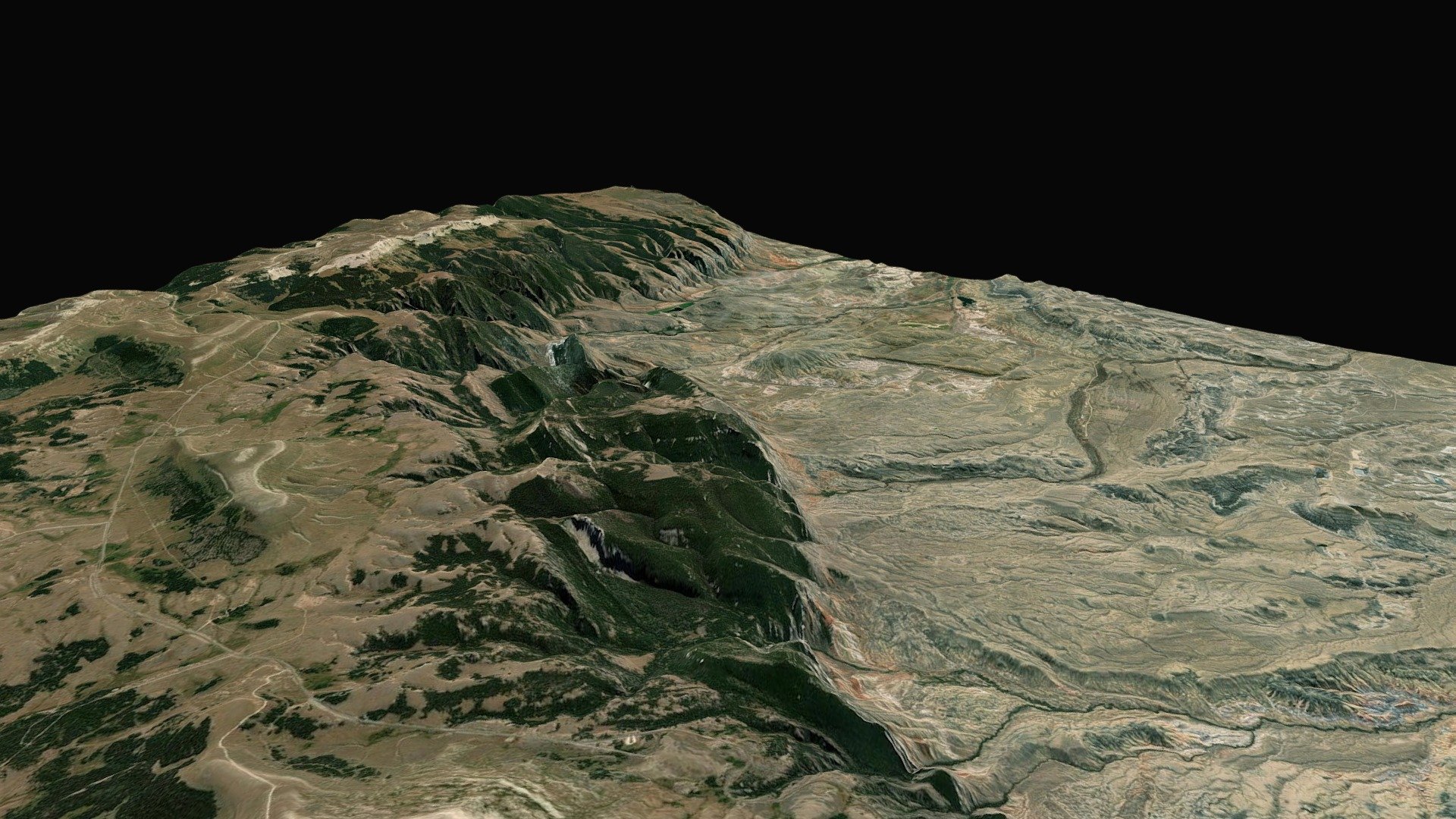
Margin of Bighorn Basin, Wyoming
1,562,000 faces
Free
Basin
209,312 faces
Free
Medlin_Modularprops
24,844 faces
Free
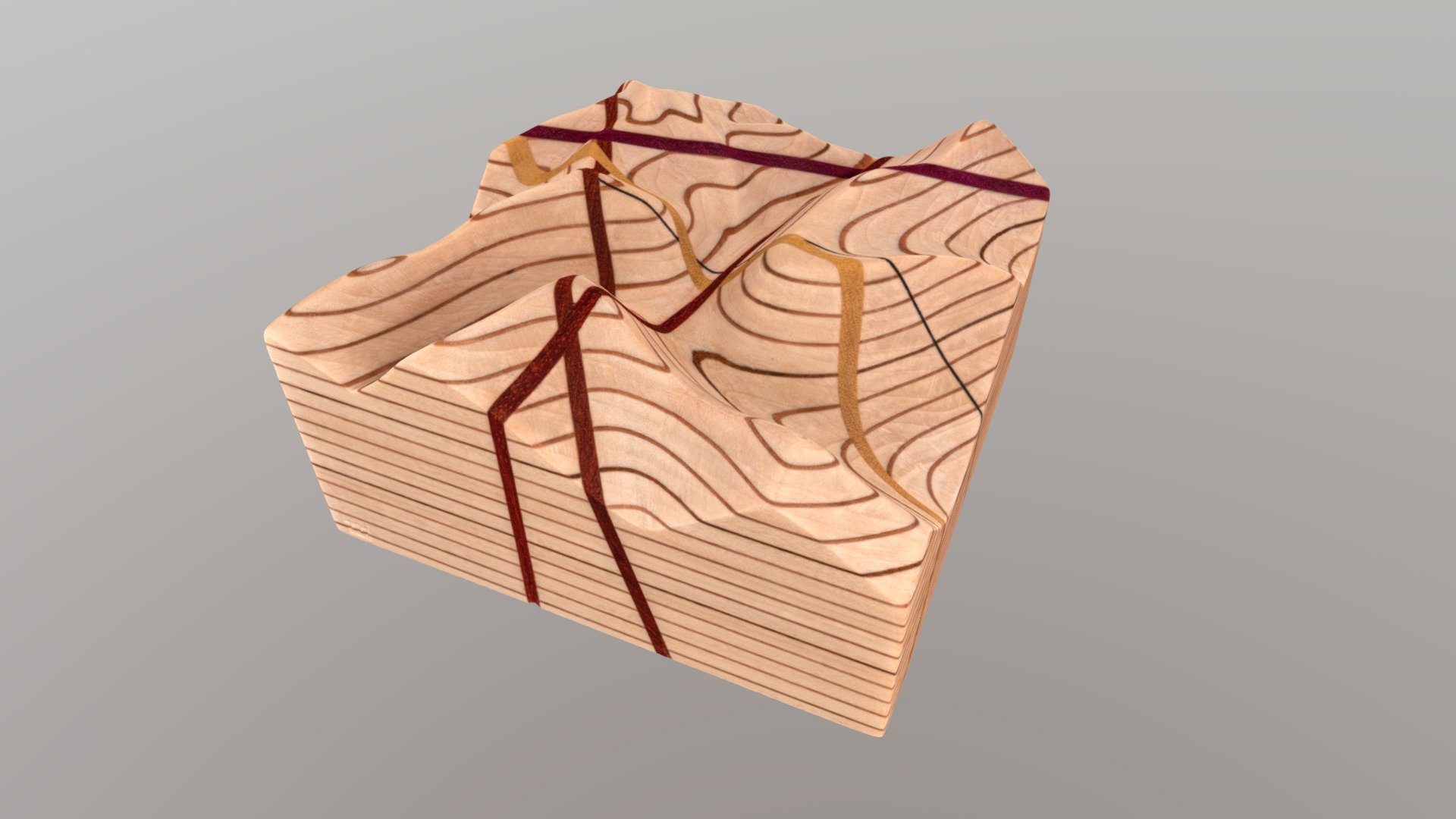
No. 121 - Topographic map block w dipping planes
900,000 faces
Free
3 Armchair 1 table
508,566 faces
Free
Low Poly Tree
2,474 faces
Free
BPL Mill Basin 05NOV20
47,666 faces
Free
unknown sedimentary rock
363,058 faces
Free