Loading 3D models...
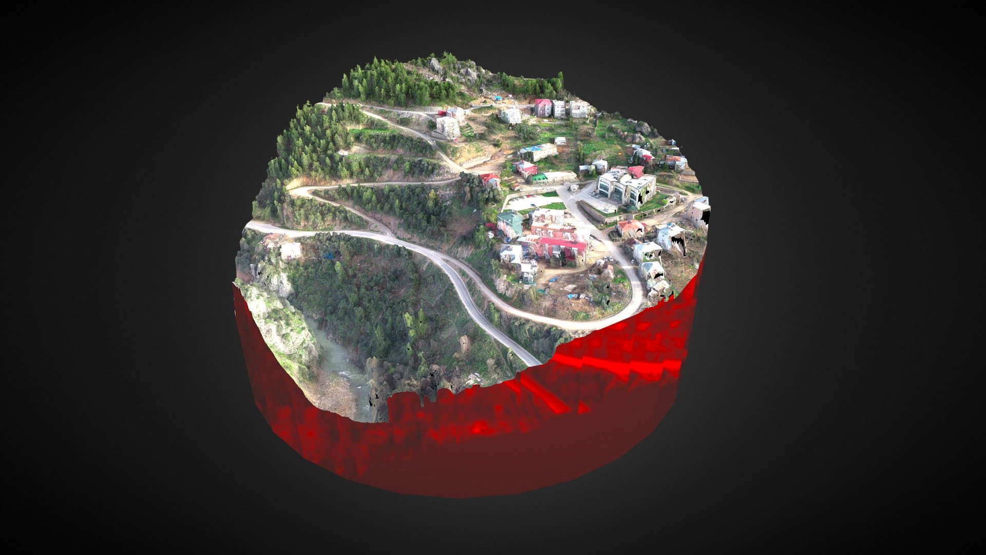
Point Cloud of Pine forest & Geology
by terradron.cat in places-travel
0
Faces
259,491
Vertices
0
Textures
Free
Download
Description
RGB point cloud of Pine forest on Eocene reef limestone near the Vallfogona Thrust (covered by forest), represents the geologic limit between the Pyrenees and the Ebro Brasin. Image captured with drone, 12 Mp camera. Flight Planner: Pix4DCapture Scanning Software: A. Photoscan Research model from Alerta Forestal: [InForest, JRU](http://biodiversitylandscapeecologylab.blogspot.com.es/)