Loading 3D models...
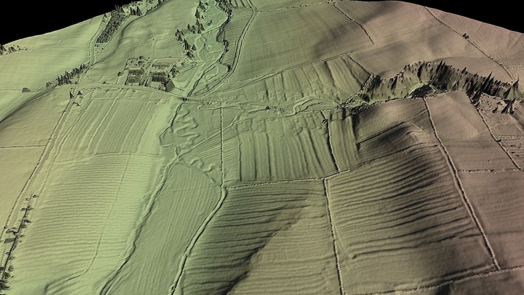
Ledbeg 5 East
by johntown in cultural-heritage-history
3,542,061
Faces
1,775,395
Vertices
0
Textures
Free
Download
Description
Partial coverage of 19.6 hectare tile, resolution 1.5 cm/px, camera DJI Phantom 4 Pro. The model only includes the eastern half of the Ledbeg 5 area shown on the Ledbeg Survey Index, as explained below. The survey area rises from 160m to 260masl and the survey was flown at 75m above a launch altitude of 153masl, with predictable results. After a 45 minute walk the UAV was found inverted but undamaged.