Loading 3D models...
Metasediments & Igneous Intrusions Carlingford.
by mcg3d in places-travel
392,637
Faces
197,535
Vertices
0
Textures
Free
Download
Description
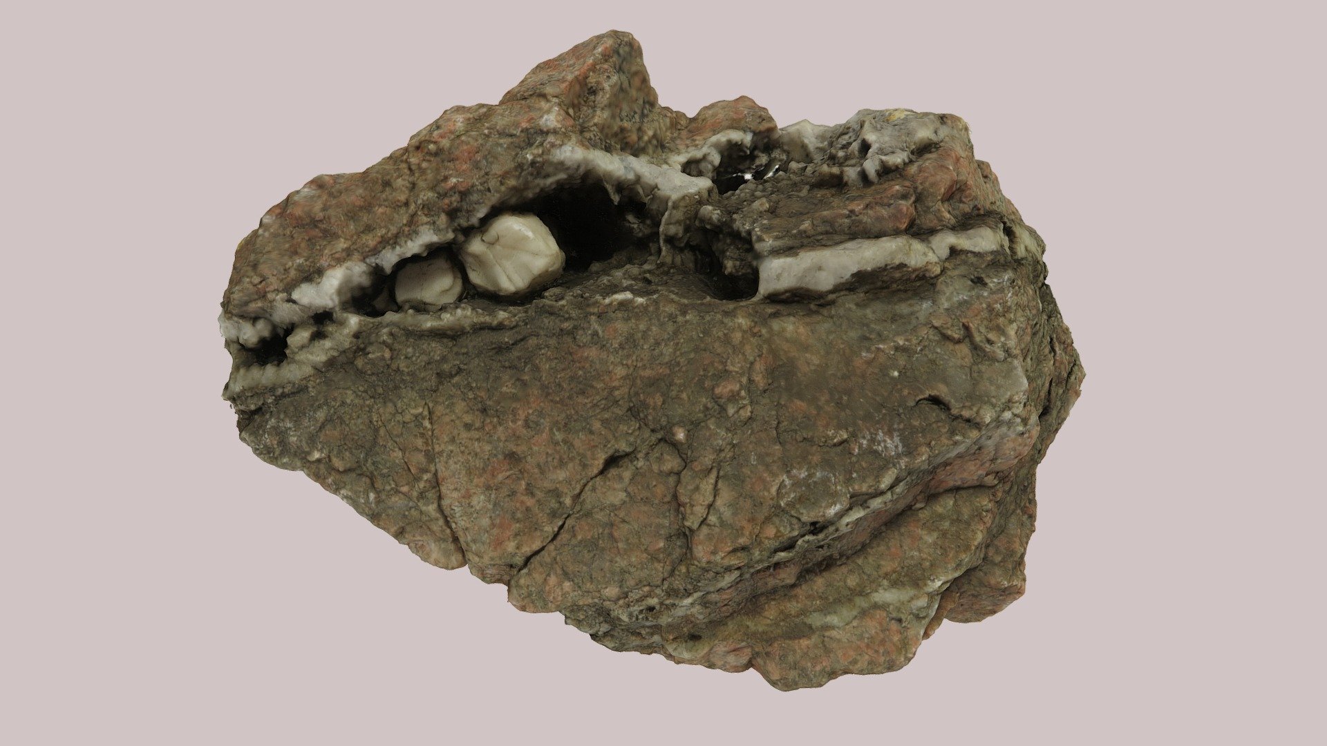
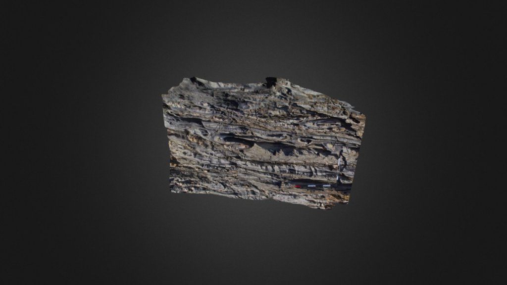
Coords: 54.04455 -6.18777 Map: http://binged.it/1Keg0Uj A rock outcrop exposed on the Omeath Rd (R173), Carlingford, below King John’s Castle. Composed of vertical folded Silurian (430Ma) metasediments of the Longford-Down inlier & sub-horizontal Palaeogene (60Ma) igneous intrusions from the Carlingford complex. The metasediments show evidence for the closing of the Iapetus Ocean & the intrusions show evidence for the opening of the Atlantic Ocean. Approximately 430Ma sediments eroded from high mountains to the N were deposited on the Laurentian coast above or close to a subduction zone as the Iapetus closed. Approximately 60Ma there was igneous activity in both Cooley & Gullion due to the opening of the North Atlantic. The Cooley Mountains, Slieve Gullion & the Slieve Gullion ring-dyke are from this time. As part of this activity a series of sheets dipping towards the centre of Cooley, were intruded into the surrounding rocks. Model © Conor Graham 2015