Loading 3D models...
Ramsau and the Dachstein Glacier
by johndavies in places-travel
1,546,712
Faces
775,125
Vertices
0
Textures
Free
Download
Description
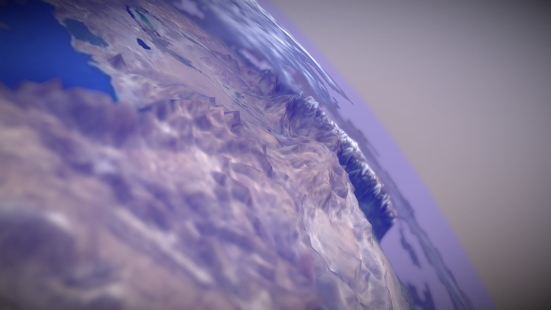
*Elevation data courtesy of the U.S. Geological Survey* *Map data ©2019 Google* A topographical map of the Dachstein Glacier, Ramsau and Schladming in Austria. The model was created from data from the Shuttle Radar Topography Mission and overlaid with imagery from Google maps. Details of how the model was created can be found on my blog: * https://theretiredengineer.wordpress.com/2019/03/24/3d-model-from-shuttle-radar-topography-mission-srtm-data/ * https://theretiredengineer.wordpress.com/2019/04/07/landsat-data-overlay-for-3d-models/ * https://theretiredengineer.wordpress.com/2019/07/28/srtm-data-take-2/