Loading 3D models...
Siple Coast ICESat-2 point cloud
by weiji14 in science-technology
0
Faces
9,445,483
Vertices
0
Textures
Free
Download
Description
Siple Coast active subglacial lakes detected by ICESat-2 laser altimetry. Colours show ice surface elevation change over time, going from red (surface lowering) to blue (surface uplift). Selected active subglacial lakes are annotated. For more information, see Chapter 4: ICESat-2 Subglacial Lakes in Leong, W. J. (2021). The subglacial landscape and hydrology of Antarctica mapped from space [PhD thesis, Victoria University of Wellington | Te Herenga Waka]. https://doi.org/10.26686/wgtn.14956062.v1 Data source: https://doi.org/10.5067/ATLAS/ATL11.004 Processing code: https://github.com/weiji14/deepicedrain
Technical Details
Related Models
Petroglyph J16 Khatm Al Melaha, Kalba, Sharjah
1,399,804 faces
Free
Monaco
555,167 faces
Free
Corail - Cunnolites sp.
300,000 faces
Free
8. Kamenná sekera
112,234 faces
Free
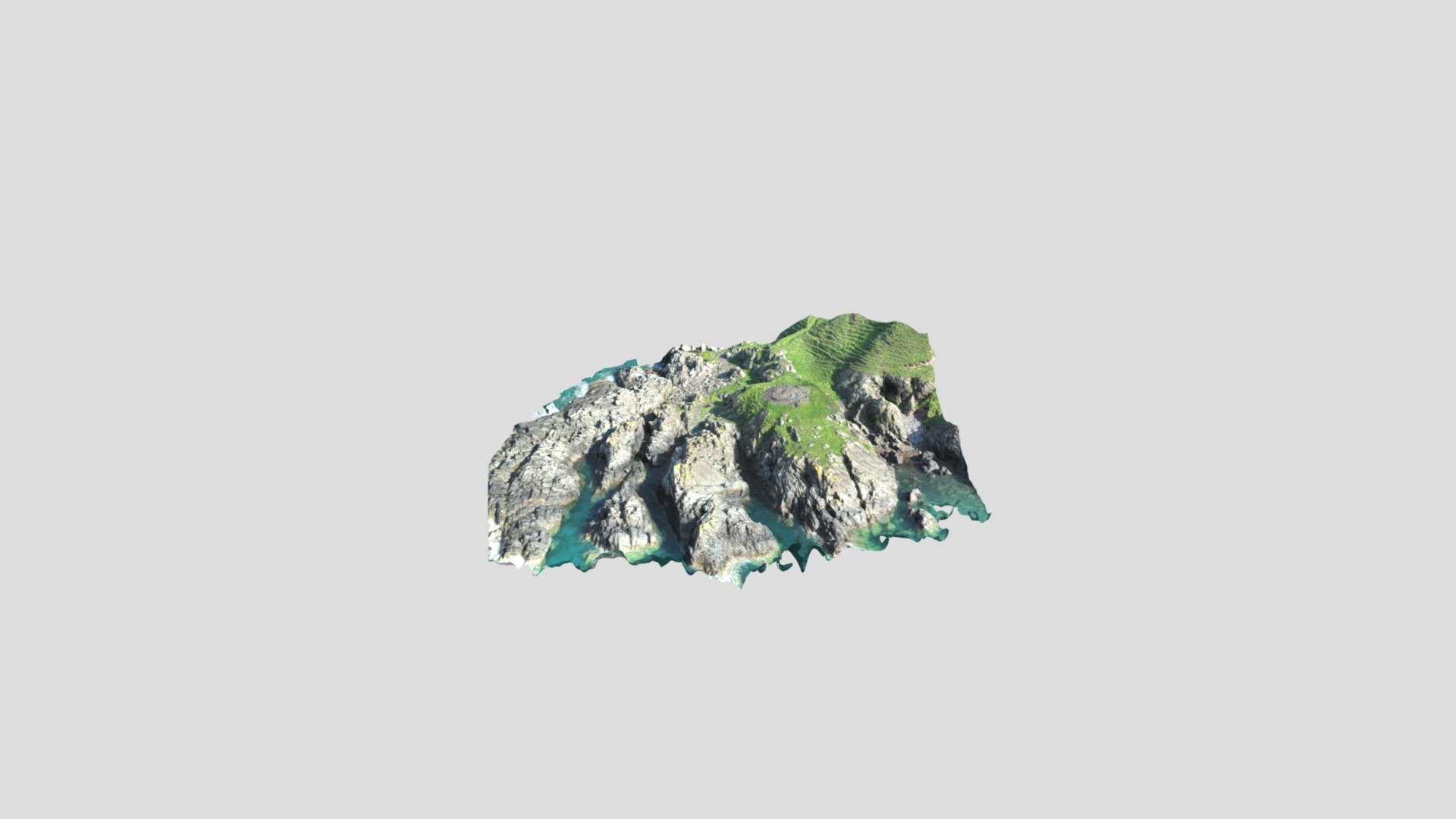
Doon Castle Broch - Rhins of Galloway
1,675,404 faces
Free
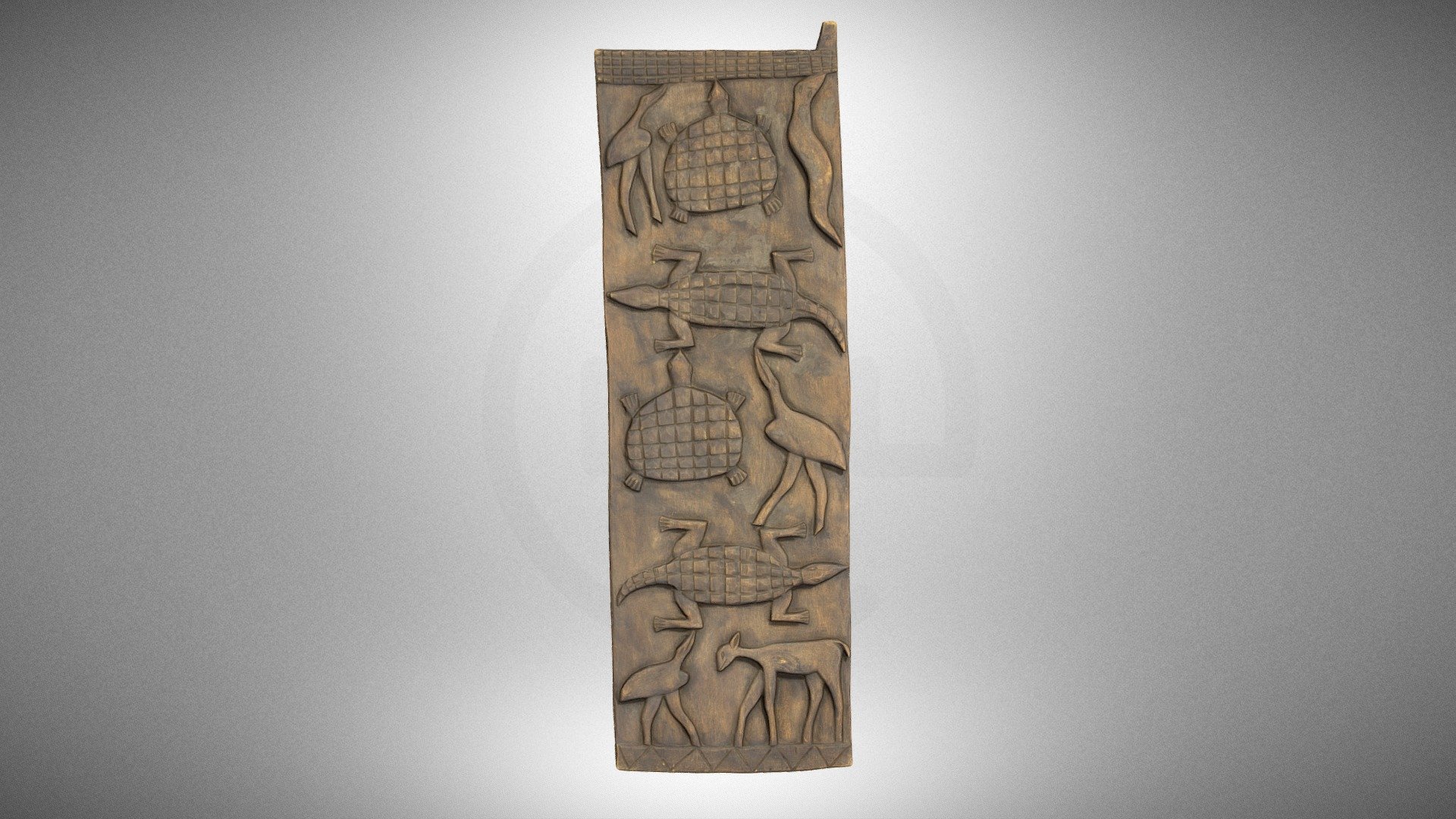
Wooden bas-relief
1,308,160 faces
Free
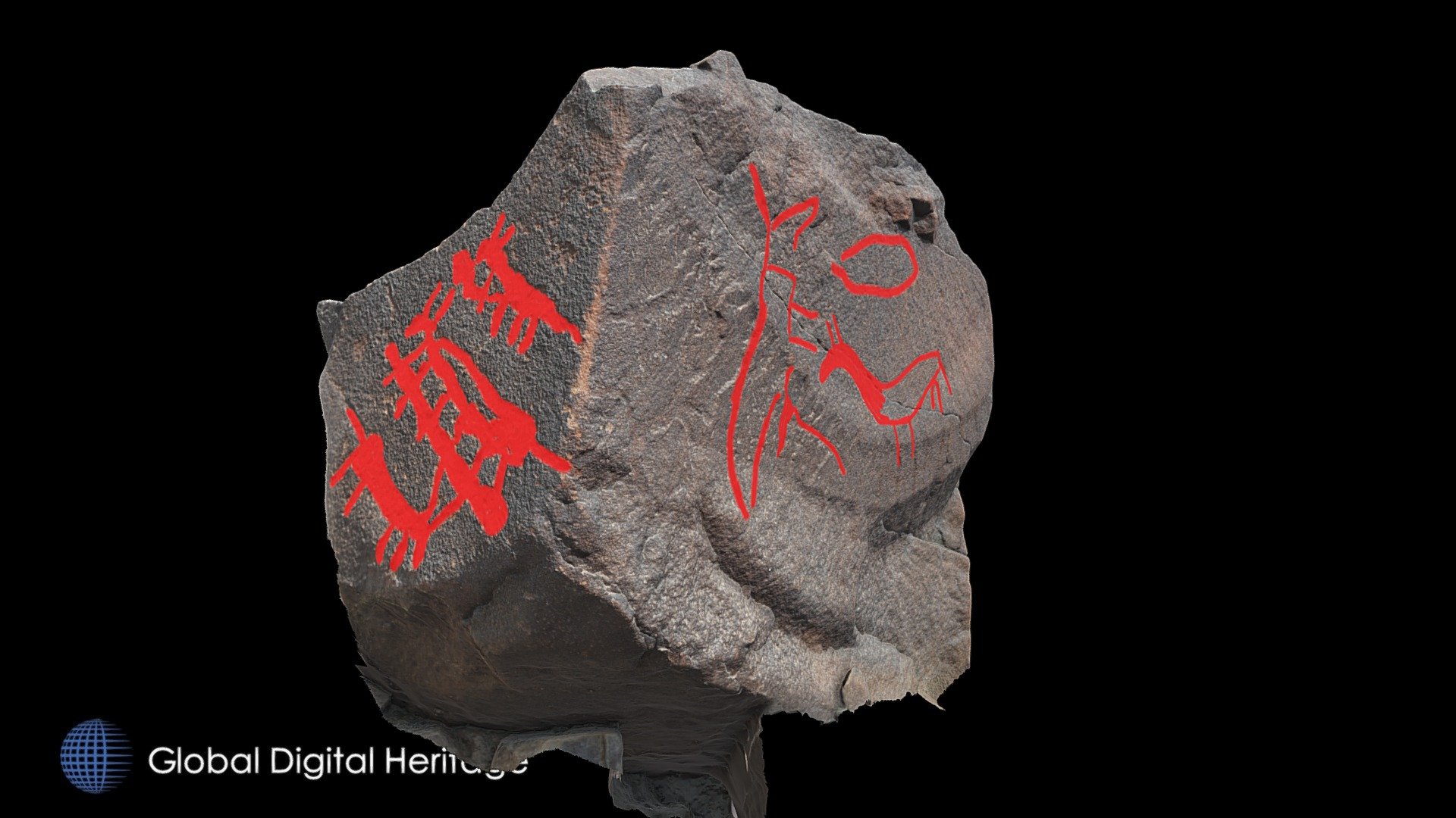
Petroglyph H18 Khatm Al Melaha, Kalba, Sharjah
627,457 faces
Free
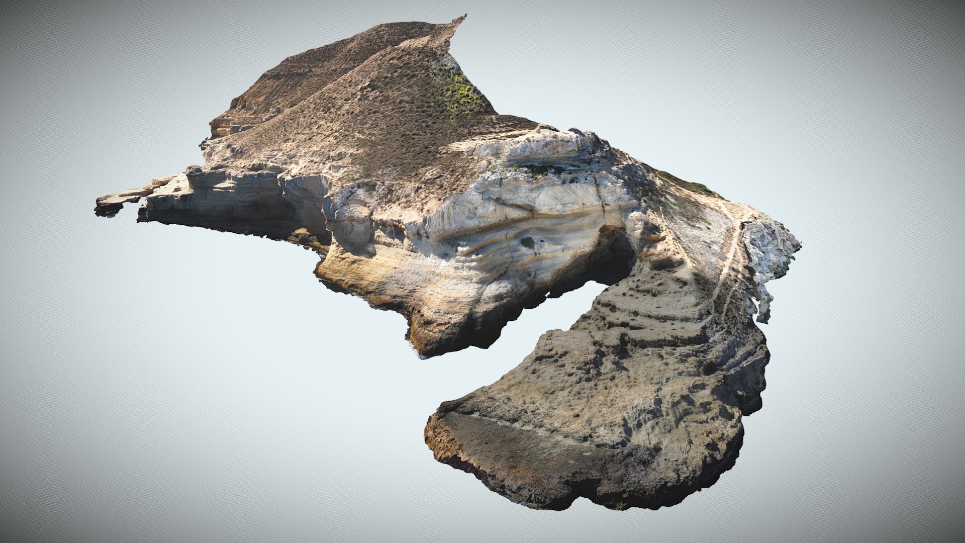
Cala del Cuervo and coast 3, Spain
3,163,930 faces
Free