Loading 3D models...
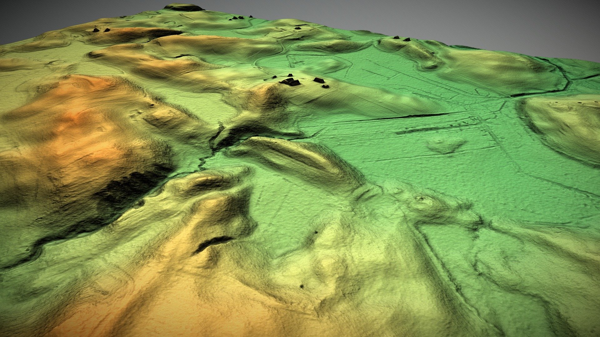
Mt. Etna - Lidar survey
by norgeotloic in places-travel
0
Faces
1,796,191
Vertices
0
Textures
Free
Download
Description
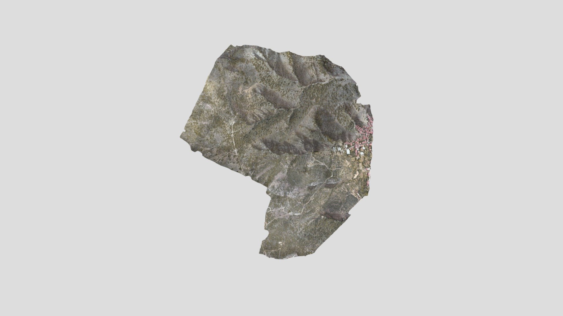
The raw elevation data I used for the [Geological map of Mt. Etna](https://skfb.ly/6M6oK), from a [2005 Lidar Survey](https://figshare.com/articles/Mt_Etna_volcano_high-resolution_topography_airborne_LiDAR_modelling_validated_by_GPS_data/4818394) by Bisson et al. You'll find the original data on the publication's page. This point cloud was simply cleaned up in Python and "augmented" with some ambient occlusion in CloudCompare in order to ease the reading when compared to a plain color one.