Loading 3D models...
Mars Landing Site - Holden Crater
by gaiastucky in nature-plants
720,480
Faces
361,443
Vertices
0
Textures
Free
Download
Description
Topographic surface on Mars generated using digital elevation models (DEMs) blended from from Context Camera (CTX) and Mars Orbiter Laser Altimeter (MOLA). Spatial analyses done on QGIS and exported using Qgis2threejs. Points of interest: sediment deposit, canyons.
Technical Details
Related Models
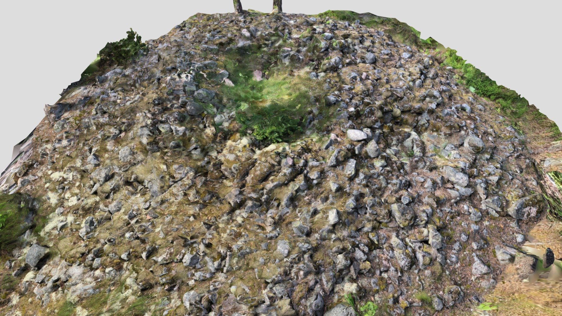
Krejansberget burial cairn 3, Siuntio, Finland
1,107,010 faces
Free
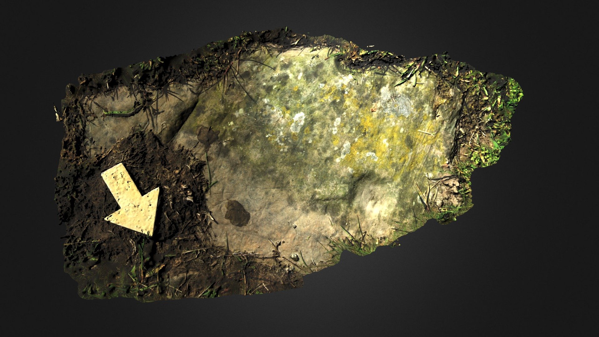
Milton 6, Near Kirkcudbright
553,730 faces
Free
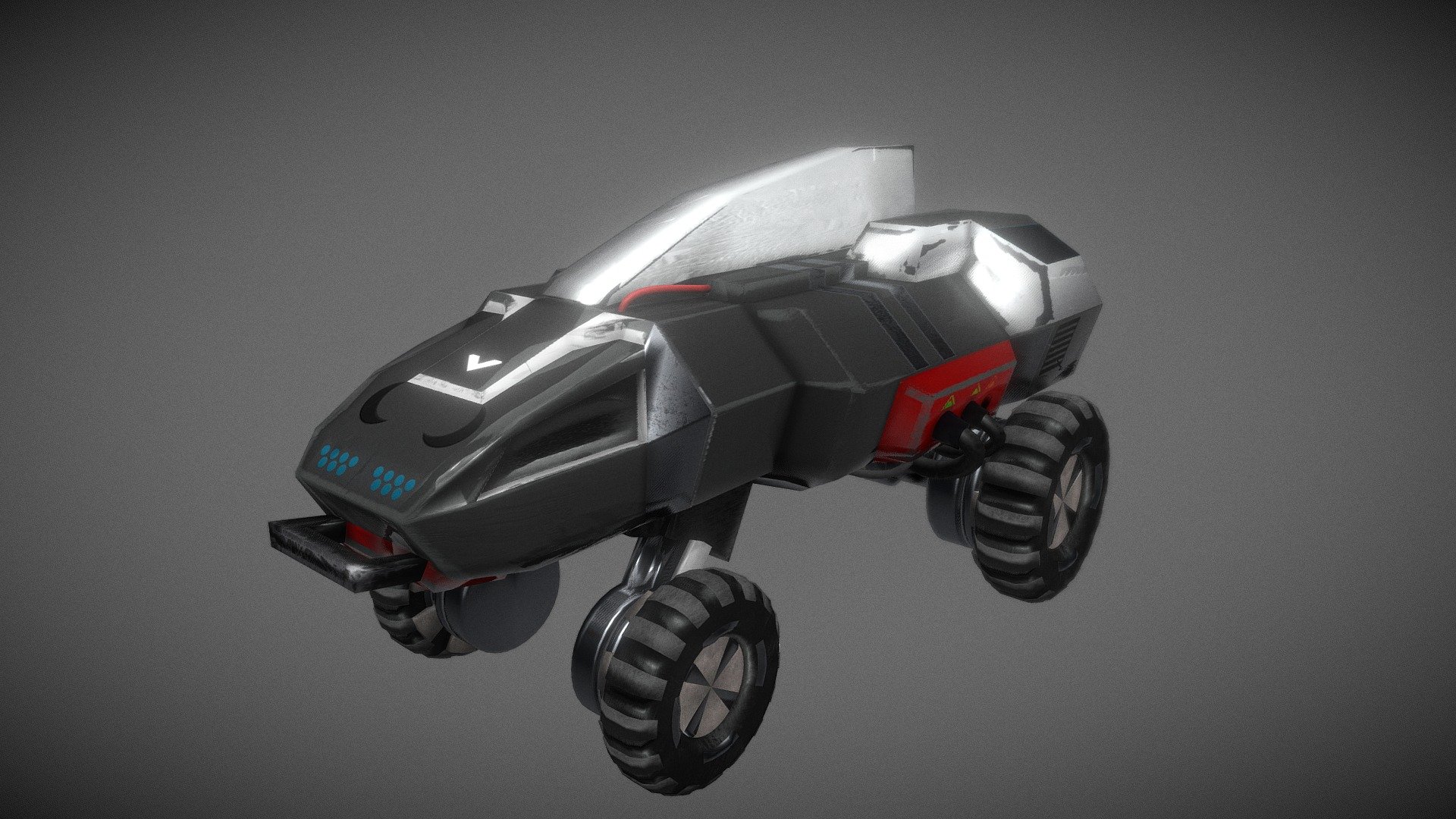
Zitrophon SN-16
19,414 faces
Free
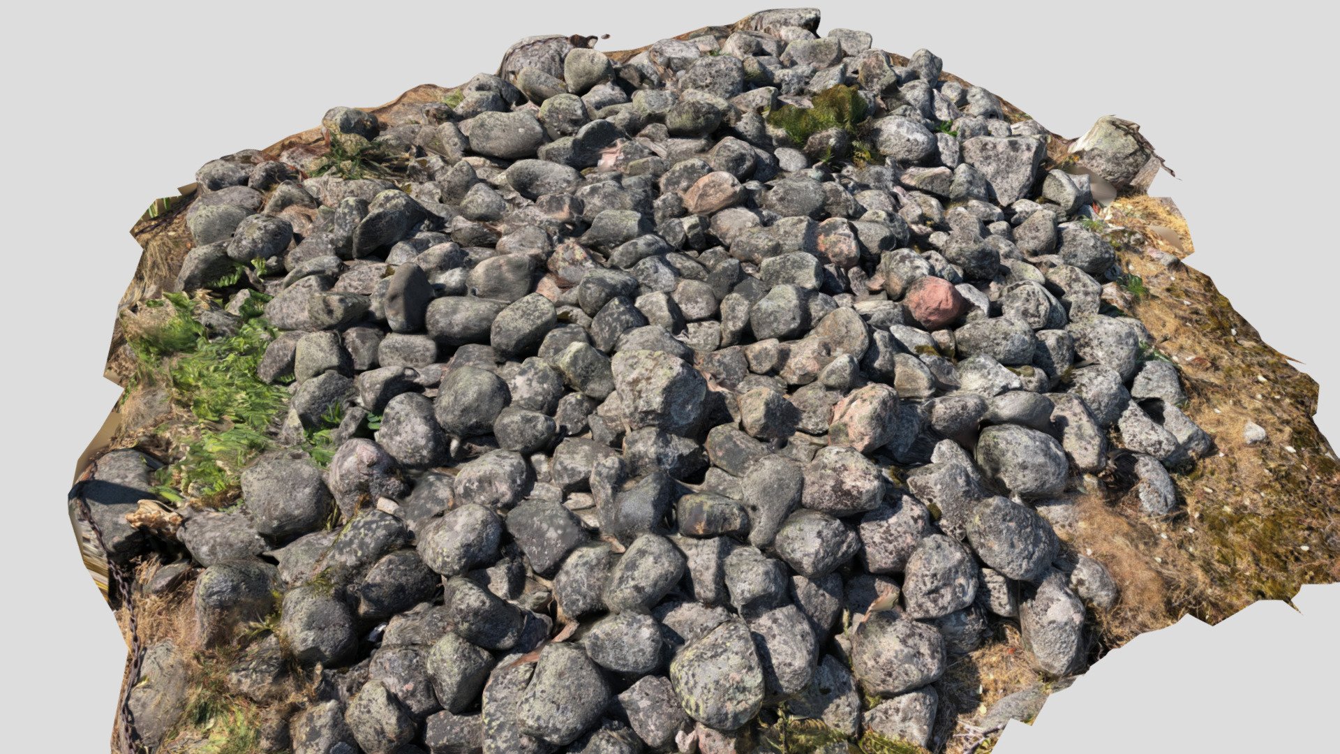
Burial cairn in Humallahti, Helsinki, Finland
377,996 faces
Free
Caraway Incised Jar Rim (2101p140-3)
520,306 faces
Free
Low poly corner of nature
5,782 faces
Free
2316400
333,944 faces
Free
Site médiéval du Castelas Larzac
162,485 faces
Free