Loading 3D models...
San Andreas Fault, USA
by saracarena1 in nature-plants
421,054
Faces
211,432
Vertices
0
Textures
Free
Download
Description
San Andreas fault trace through the Carrizo Plain, including the Wallace Creek offset stream site. The satellite image is probably taken during the *superbloom* of April 2019. California, USA. Vertical exaggeration 2x. * Generator: [DEM Net Elevation API](https://elevationapi.com) * Digital Elevation Model: [SRTM_GL1 OpenTopography](https://opentopography.org/) * Imagery: [Esri World Imagery](https://services.arcgisonline.com/ArcGIS/rest/services/World_Imagery/MapServer)
Tags
Technical Details
Related Models

L4D2 ROCHELLE WITH DENISE SKIN
16,227 faces
Free
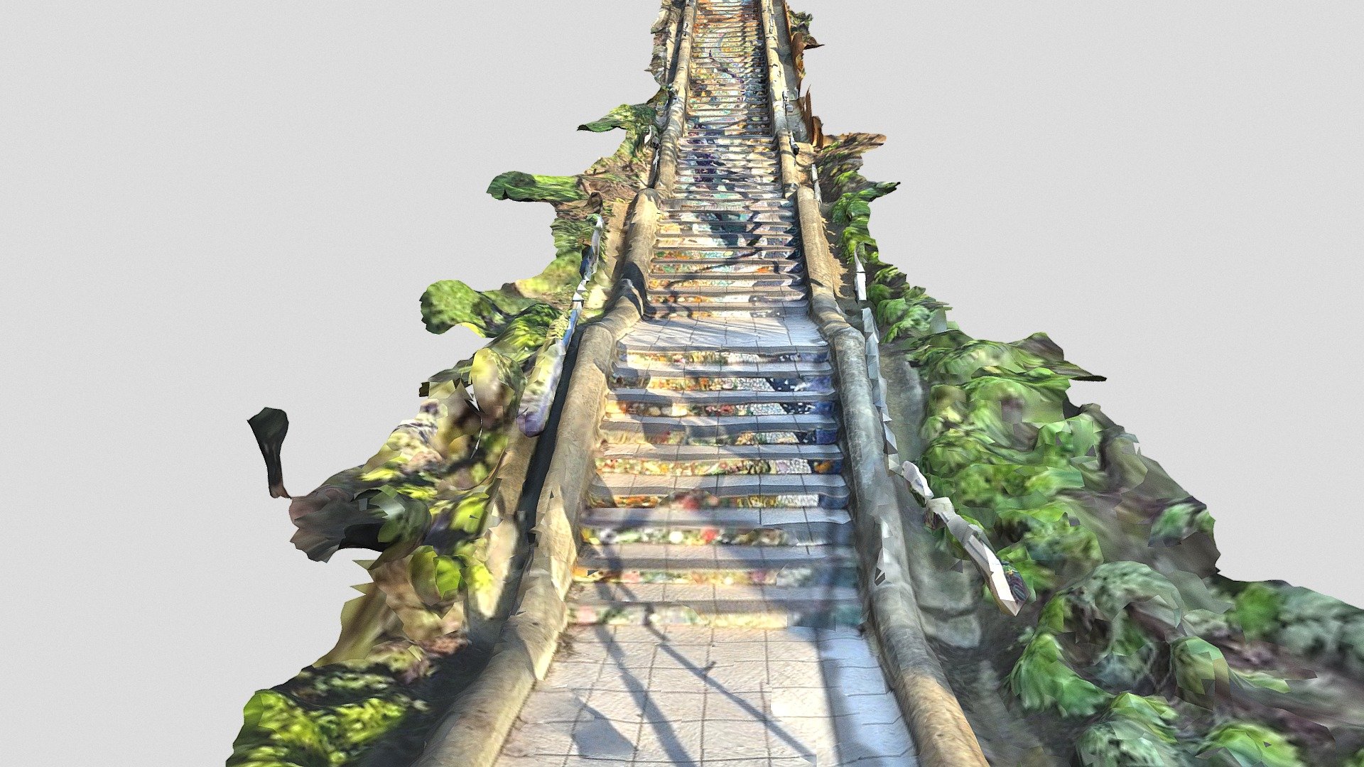
Tiled steps in San Francisco (scaniverse)
106,998 faces
Free

City hall's manhole cover (Low-Poly)
2 faces
Free

JMBP_GEO_ZONA_BARI
1,440,000 faces
Free
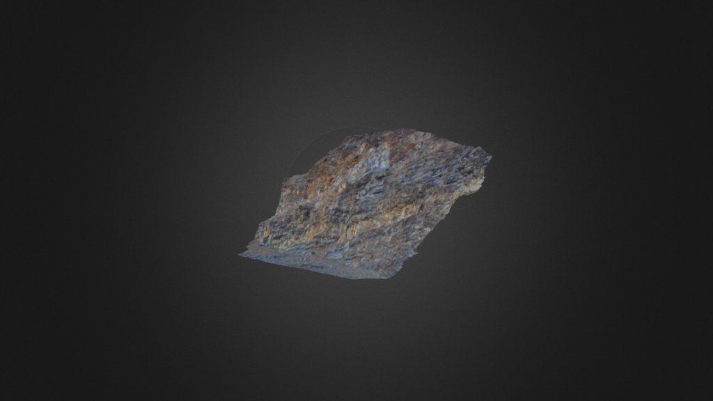
Thomson1
295,483 faces
Free
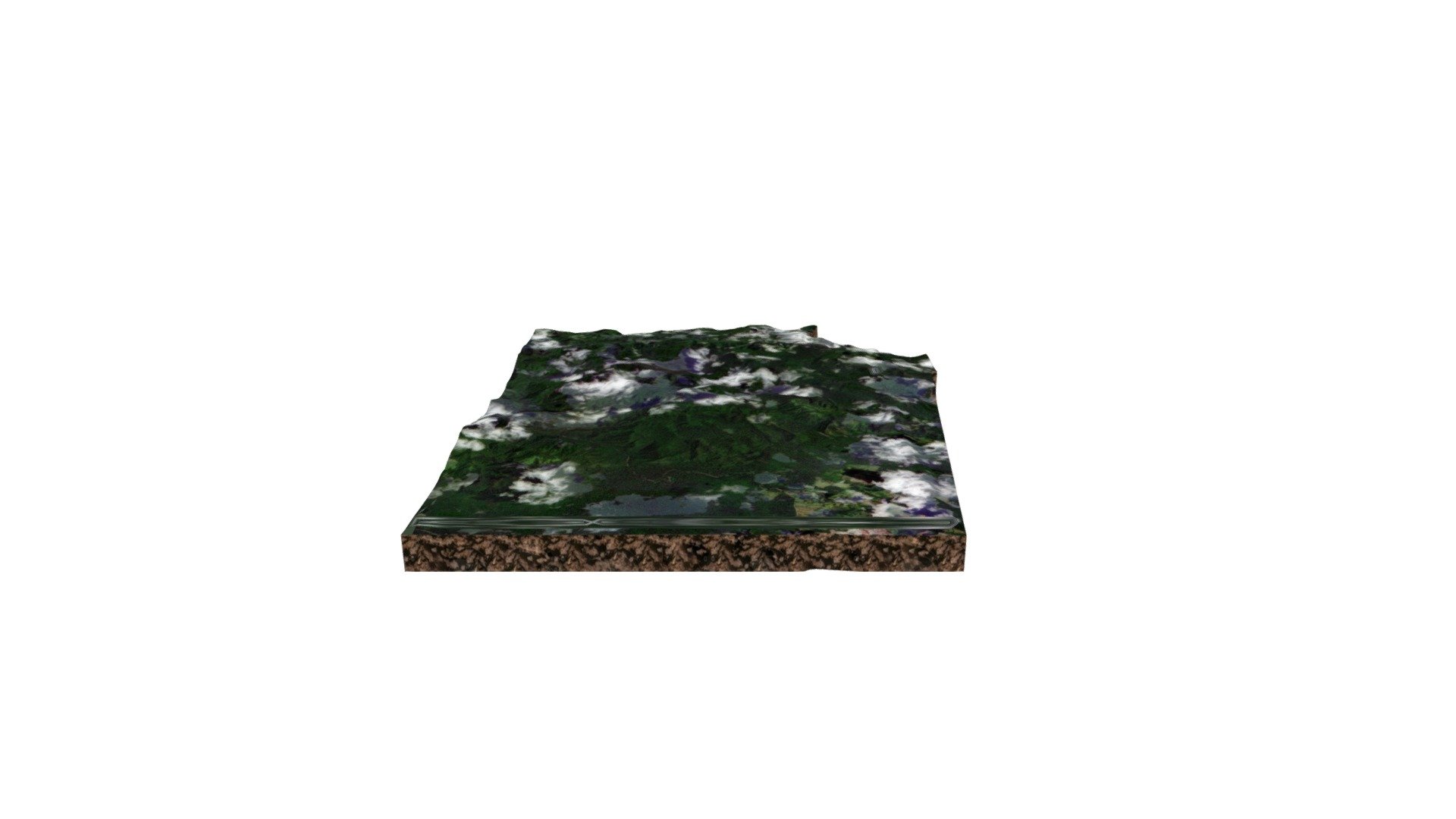
Reserva San Jorge
18,218 faces
Free
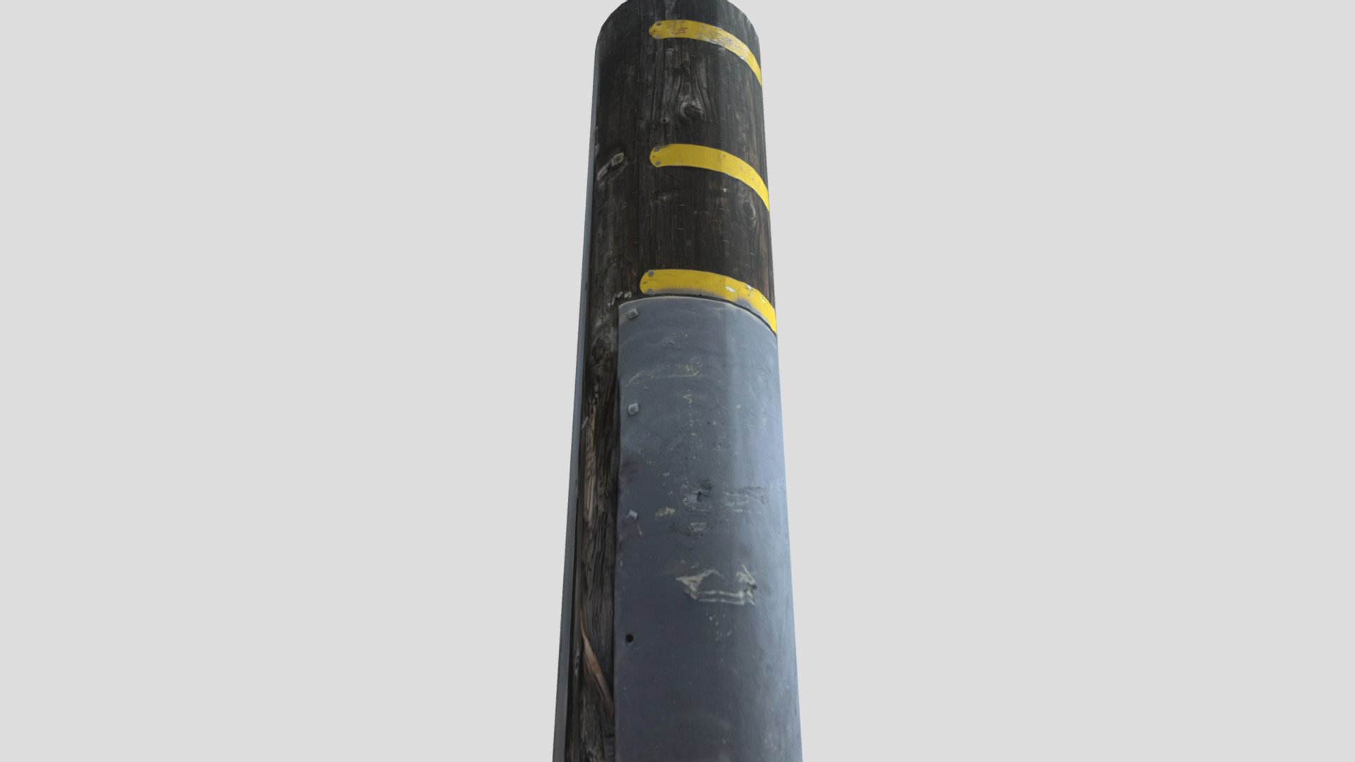
Street Lightpole
124 faces
Free

Wooden Ship's Pulley
129,283 faces
Free