Loading 3D models...
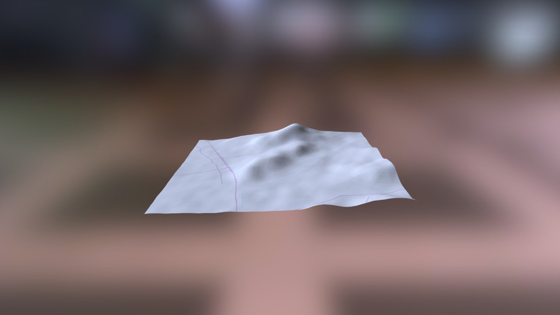
Maui and Kahoolawe
by dml-ucsdlibrary in places-travel
456,070
Faces
228,030
Vertices
0
Textures
Free
Download
Description
using terrain2stl by jhatch, doubled the height to accentuate detail Terrain2STL creates STL files using the SRTM3 dataset from 2000, which has a resolution of about 90 meters on the equator. open with meshlab to "unify duplicate vertices" then open with meshmixer, extrude to a big block, then solidify, then cut the bottom flat and thin.
Technical Details
Related Models

Yellow Jackets Logo
94,182 faces
Free
C1576 Nestora (Kakovatos)
4,000 faces
Free

Original Robot Design by Jef
10,660 faces
Free
ROI076-114-01
444,158 faces
Free
Boundary Stone Highgate High Street
886,448 faces
Free
Spaceship Scifi
9,260 faces
Free
GeoFS Official ATR-72 UTair Livery
9,753 faces
Free
National Museum of Bulgaria
93,388 faces
Free