Loading 3D models...
Heterogeneous burned forest within Cal-wood Fire
by mikoontz in science-technology
0
Faces
2,987,633
Vertices
0
Textures
Free
Download
Description
Forest/meadow interface within burned area of the Colorado Front Range's 2020 Cal-Wood Fire. Drone-capture imagery from a Phantom 4 Pro and dense point cloud created using Agisoft Metashape v1.7.3. Thinned by a factor of ~4 using the {lidR} package in R with lidR::decimate_points(my_dense_point_cloud, algorithm = lidR::homogenize(density = 200, res = 1)).
Technical Details
Related Models
Saving the last Refuge
13,280 faces
Free
Orange Birch Bolete
133,722 faces
Free
A small forest
1,090,611 faces
Free
lowpoly treasure chest in forest
201,170 faces
Free
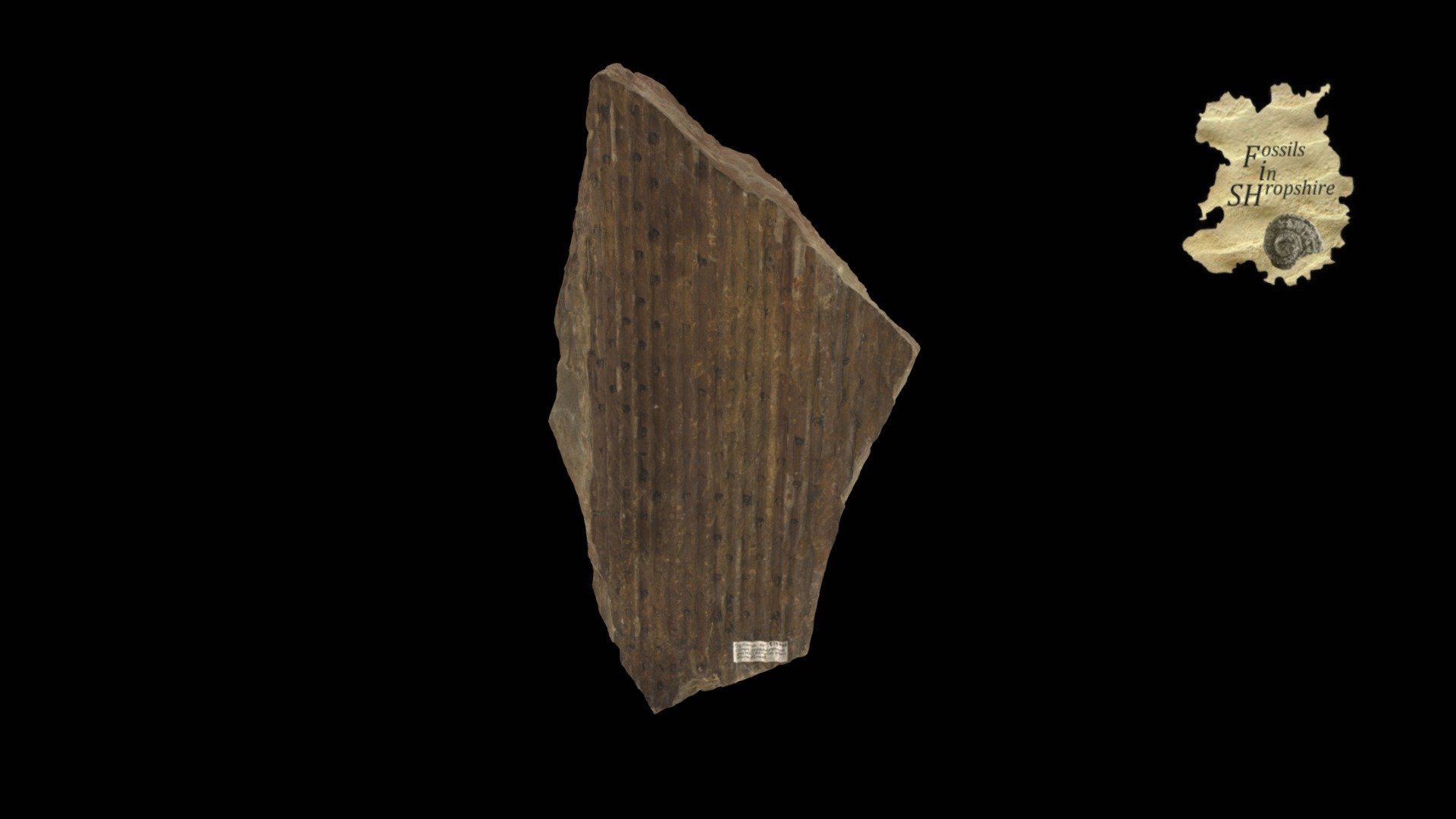
Plant - Giant Clubmoss
908,488 faces
Free
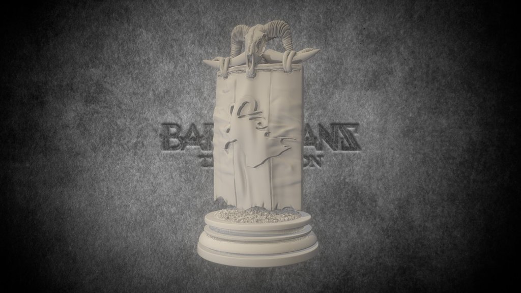
Forest Banner - Barbarians: the Invasion
1,642,821 faces
Free

procedural modelling terrain baked
2,626,560 faces
Free
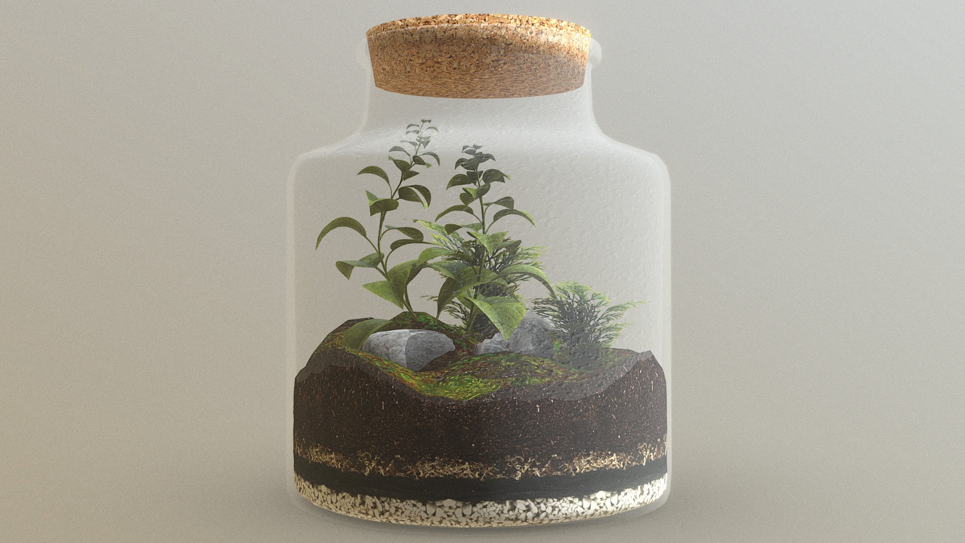
Forest In a Jar - Terrarium
30,448 faces
Free