Loading 3D models...
St Aubins Fort G2016 - Draft
by SurveySquirrel in places-travel
1,000,000
Faces
491,918
Vertices
0
Textures
Free
Download
Description
This is a model of St Aubins Fort prior to editting. The data was initially gathered in June 2016 using a DJI Phantom 3 Pro. This particular drone has a fairly low grade camera and sensors and I primarily use it for creating a planning scan to work out where to put GCP and identify complex scanning structures prior to undertaking an in-depth scan. It was photographed at low tide to try and limit "noise" from the reflective nature of the water. Images were taken perpendicularly to the ground which helped remove noise from the water but lacked the definition on fencing and boat masts that would have benefitted from a more oblique image. The model is ok from a distance and to gauge the layout of the Fort but at high zooms the quality quickly diminishes.
Technical Details
Related Models
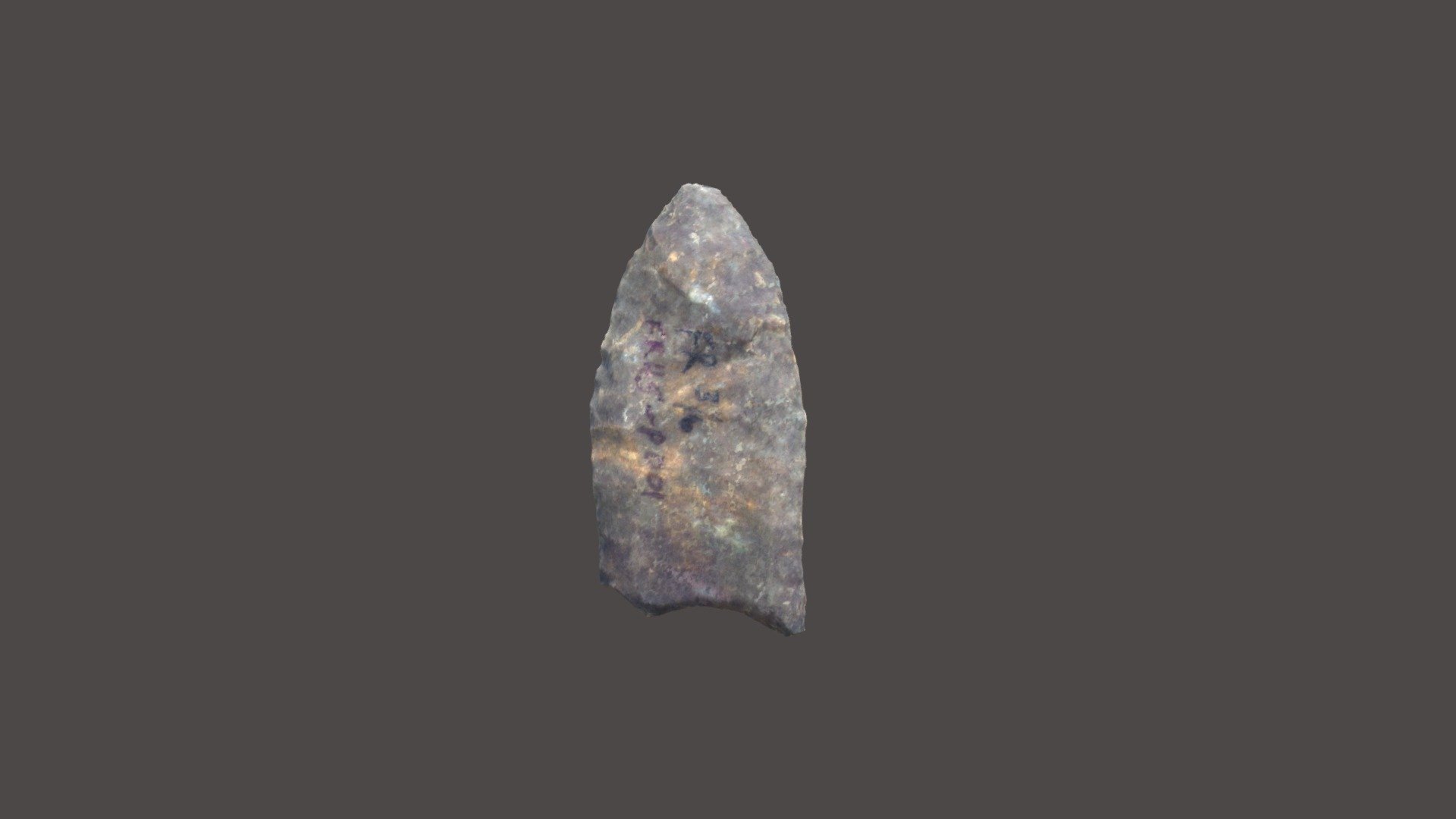
FR002, Paleoindian, Clovis or fluted points
380,911 faces
Free

Subscribe to Adventures of a Geek on YouTube!
2,924 faces
Free
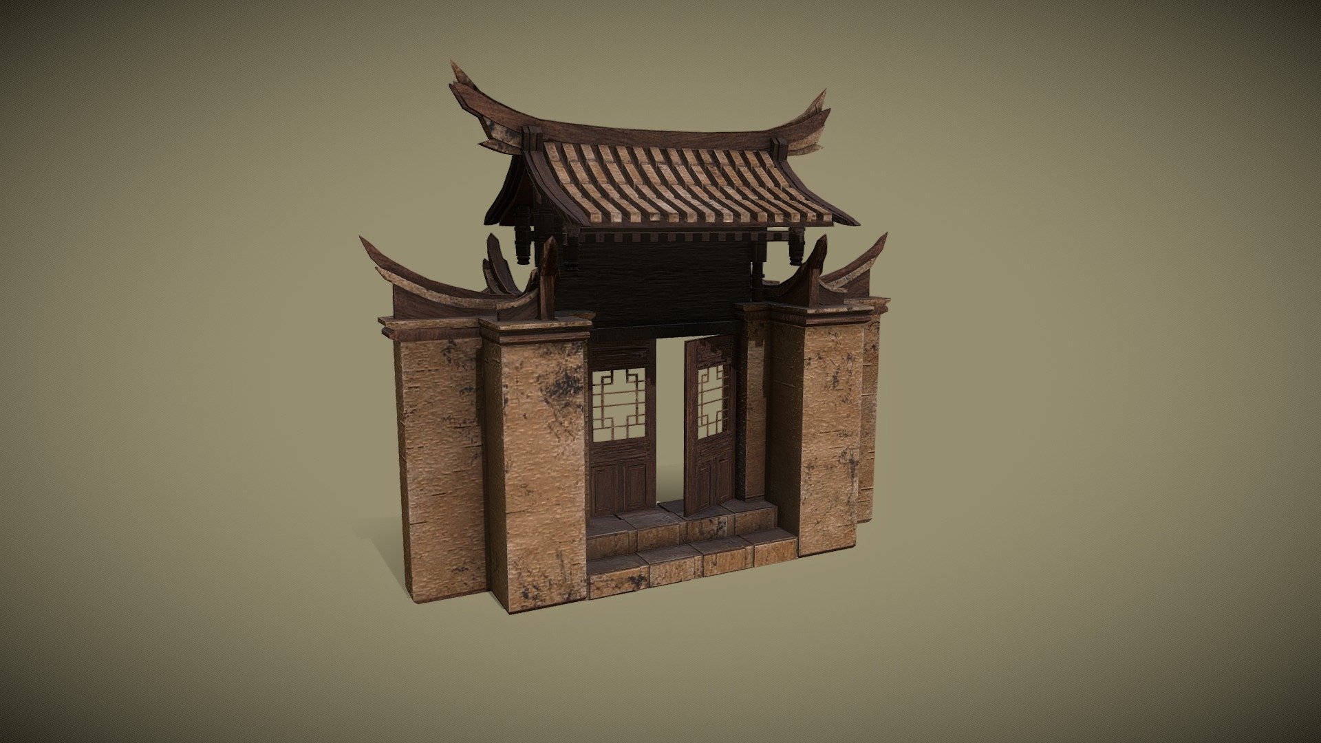
CHINESE TEMPLE
14,212 faces
Free
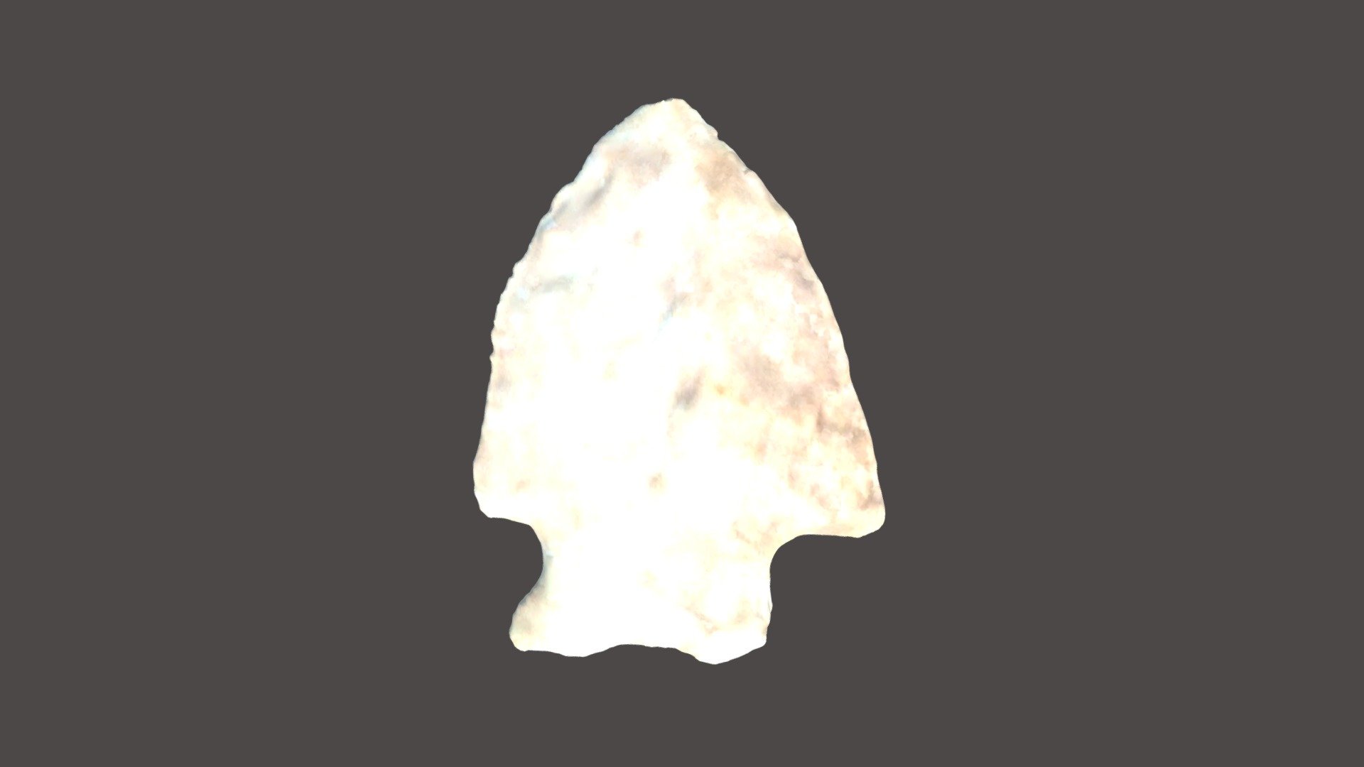
FR042, Middle Woodland, Jacks Reef Pentagonal
172,344 faces
Free
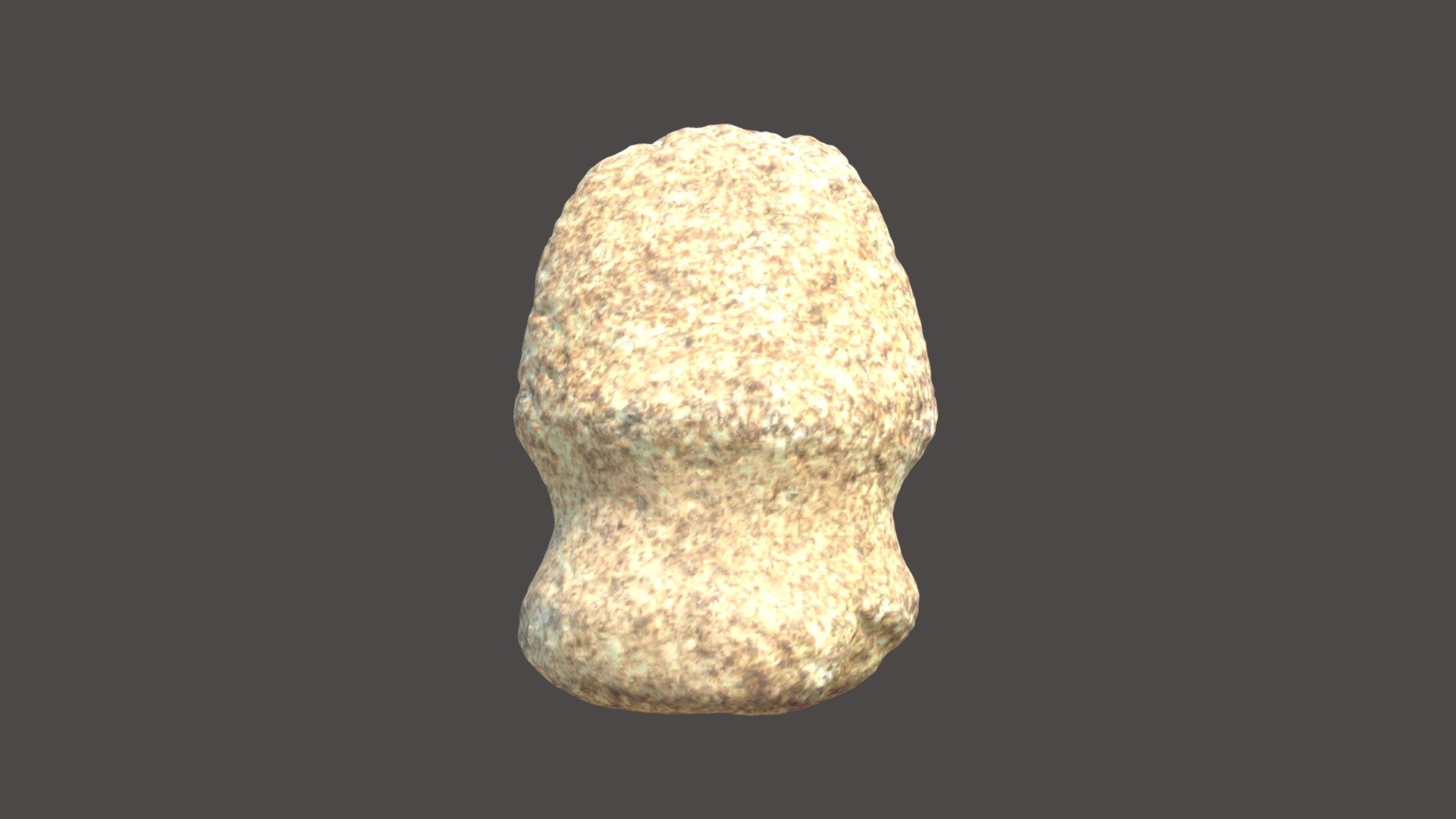
FR078, Late Archaic, grooved axe
307,161 faces
Free
Old West Fort Asset Pack
69,986 faces
Free
C732 Akraiphnia: Fort
3,832 faces
Free
Sorbie Tower - Dumfries & Galloway
1,177,887 faces
Free