Loading 3D models...
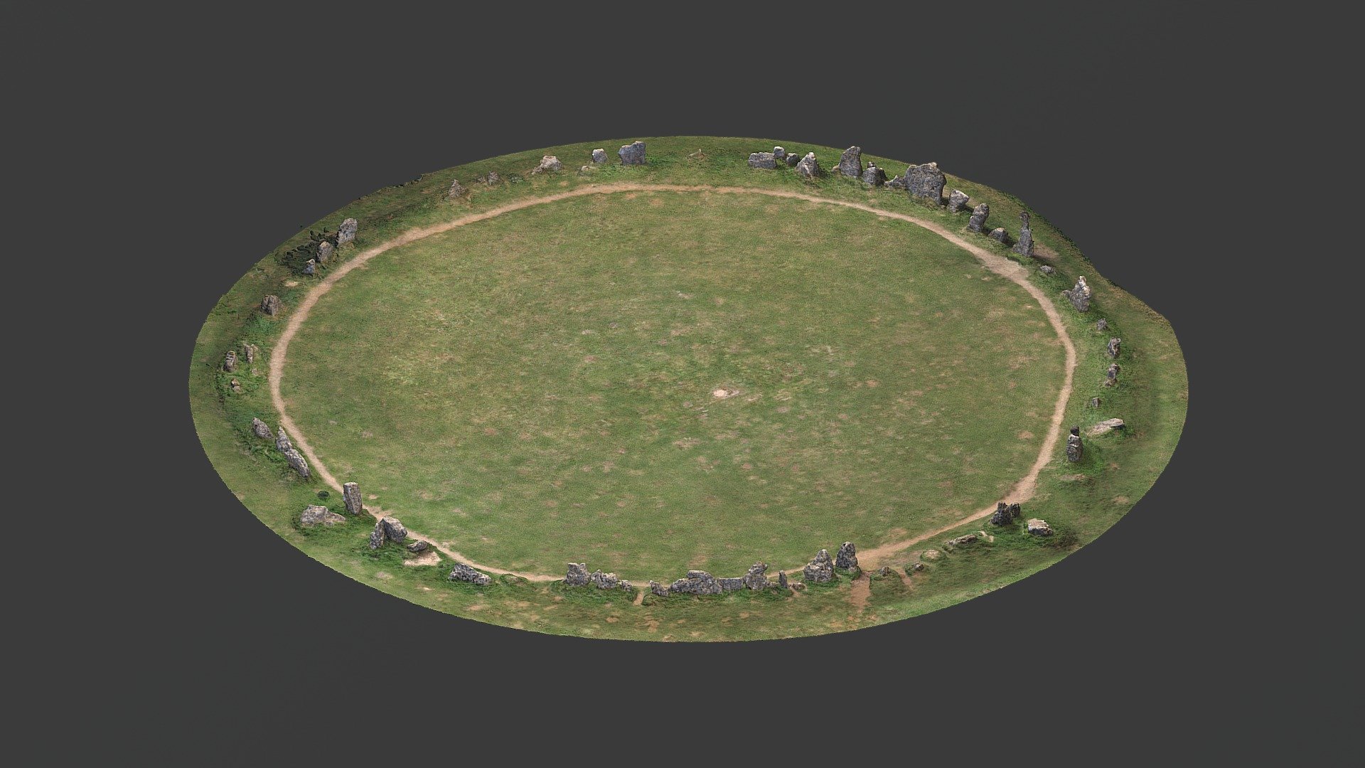
Just north of Hawes on River Ure floodplain
by altogetherarchaeology in cultural-heritage-history
719,112
Faces
360,777
Vertices
0
Textures
Free
Download
Description
Lots of interesting earthworks on the River Ure floodplain opposite Hawes 3D model created from 50cm DTM LIDAR using QGIS and color-ramps to colour code elevations. Zoom in and pan around to see the features. Click the ? bottom right of the screen for navigation help.