Loading 3D models...
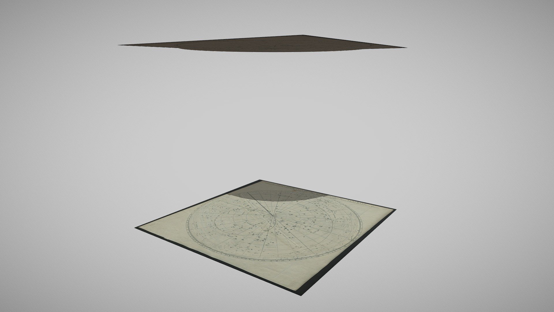
Stellarum Fixarum Hemisphaerium
by nebulousflynn in cultural-heritage-history
3,968
Faces
2,050
Vertices
0
Textures
Free
Download
Description
A quick bit of fun with two images from the [King’s Topographical Collection](https://www.flickr.com/photos/britishlibrary/albums/72157716220271206) by the British Library on Flickr. > The Topographical Collection of George III contains drawn and printed maps, views and atlases produced between 1500 and 1824. Title: "Stellarum Fixarum Hemisphaerium Australe (Boreale) in plano Eclipticae depictum, omnes Catalogi Britannici stellas exhibeus eo situ quem anno 1690 habuerunt, a J. Senex."