Loading 3D models...
Northern Montana to Chinati Peak Texas
by jrmertes in nature-plants
4,208,739
Faces
2,230,260
Vertices
0
Textures
Free
Download
Description
Aerial imagery transect from Northern Montana all the way to Chinati Peak on the Southwestern border of Texas. This was made using 3954 aerial images from 1980s USGS aerial surveys.
Technical Details
Related Models

La Montaña Rusa Multi-Sensory Interpretation
48,286 faces
Free
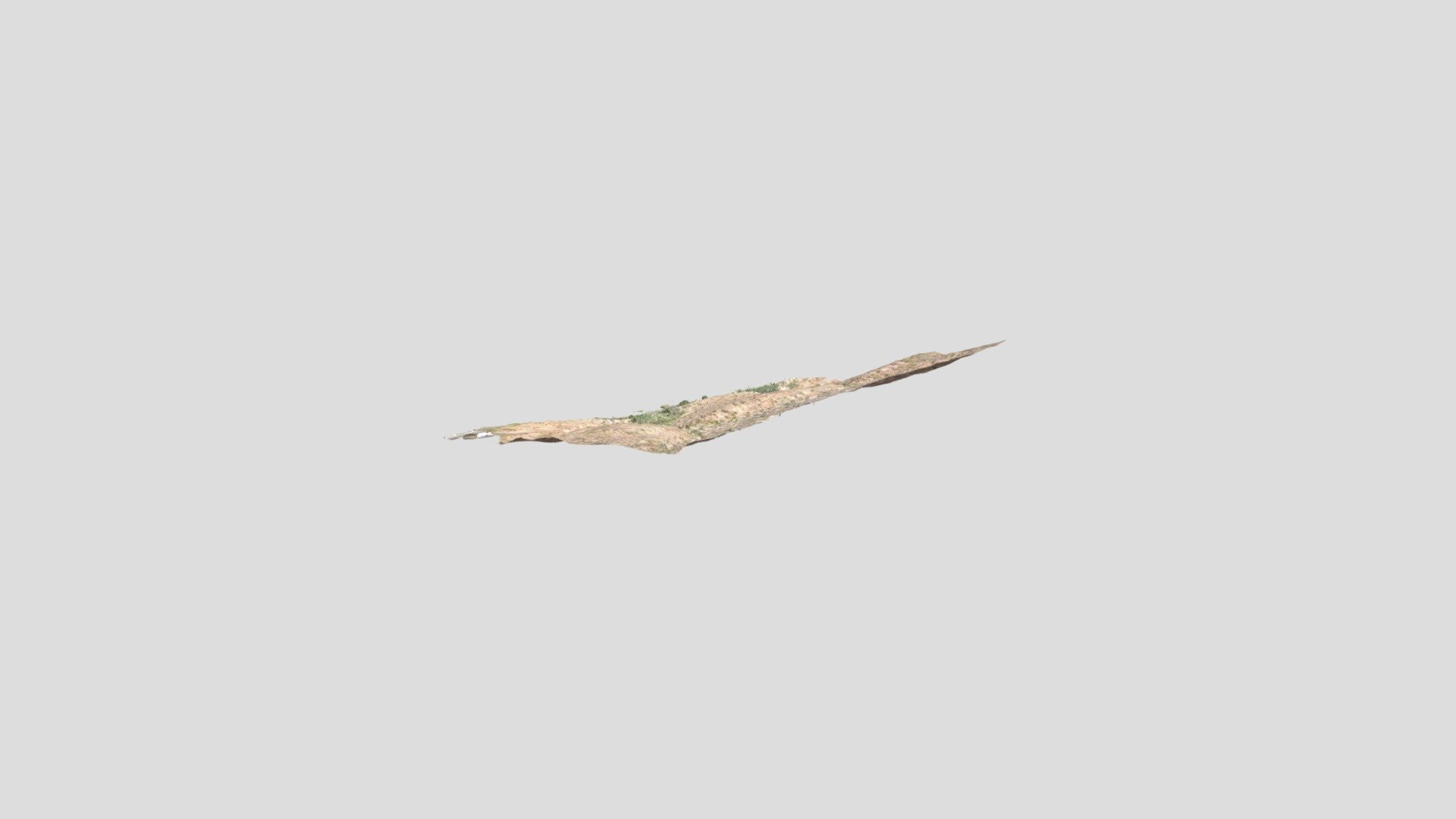
Cristo Rey, NM
500,000 faces
Free

Manchester Northern Quarter Graffiti 1
200,000 faces
Free
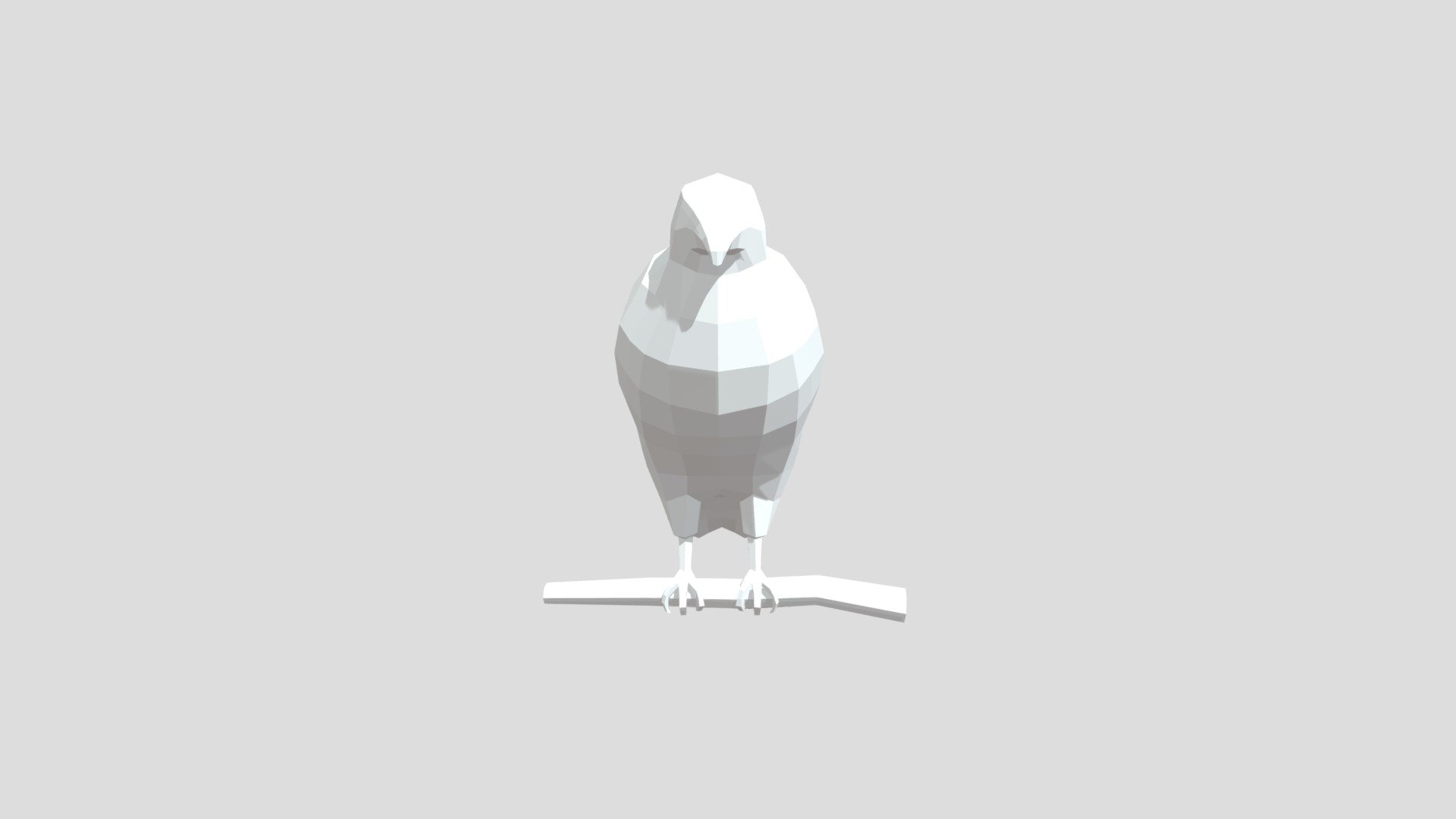
Northern goshawk from Poly by Google
1,110 faces
Free
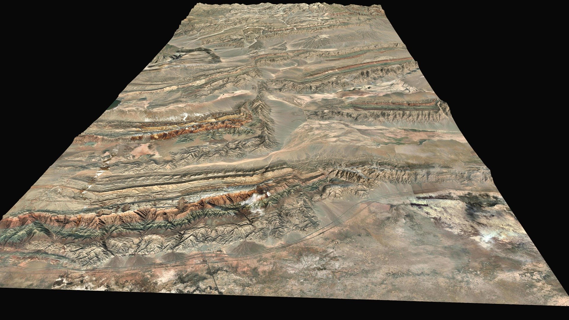
Tear fault, China
1,490,076 faces
Free
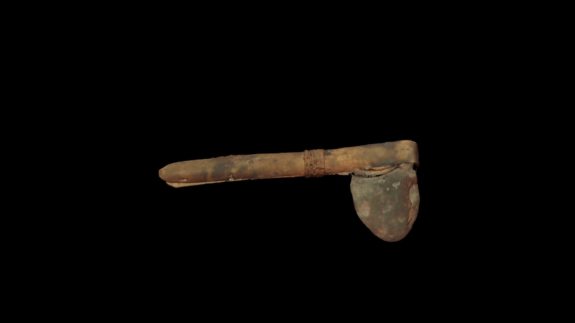
Kamenná sekera v dřevěné násadě
219,119 faces
Free

Deck II
1,945 faces
Free
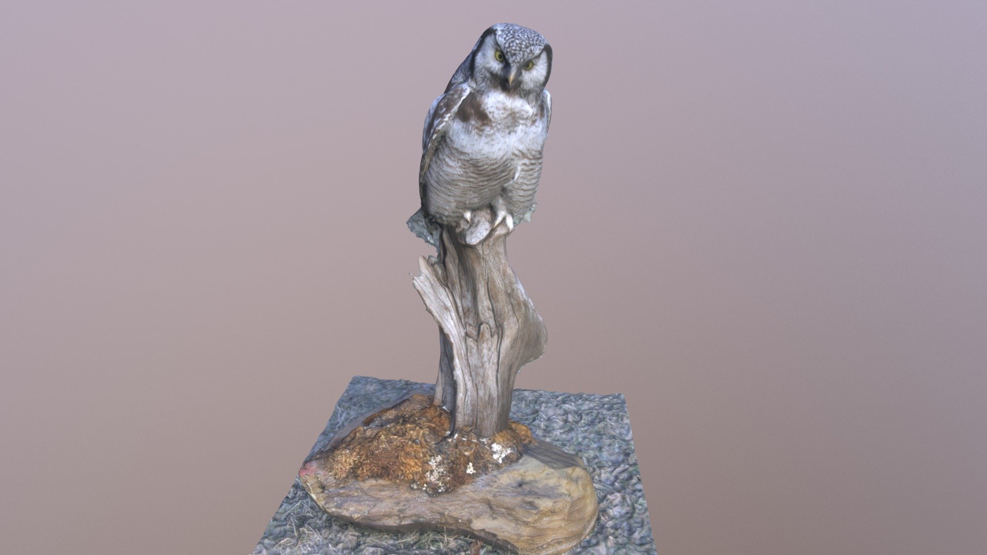
Haukugle
162,392 faces
Free