Loading 3D models...
Kimberley region, Gale crater (Mars)
by planmap.eu in science-technology
2,000,000
Faces
1,002,001
Vertices
0
Textures
Free
Download
Description
3x3 km area centered around the Kimberley outcrop (Gale crater, Mars), traversed by MSL rover Curiosity in 2014. This tile has been produced using a 1m-resolution Digital Elevation Model from USGS obtained from stereo HiRISE imagery, draped with 25cm-resolution HiRISE orthoimages. This work has been supported by the EU H2020 PlanMap project. Model by LPG/CNRS (see also https://sketchfab.com/LPG-3D)
Technical Details
Related Models
Dolmen ruins, Phabguchel group
1,461,262 faces
Free
Polished stone hoe(Herdade do Vidigal, Portugal)
1,269,620 faces
Free
Porte du Saint-Leu d'Esserent
1,032,761 faces
Free
unreliableobject_29
15,077 faces
Free
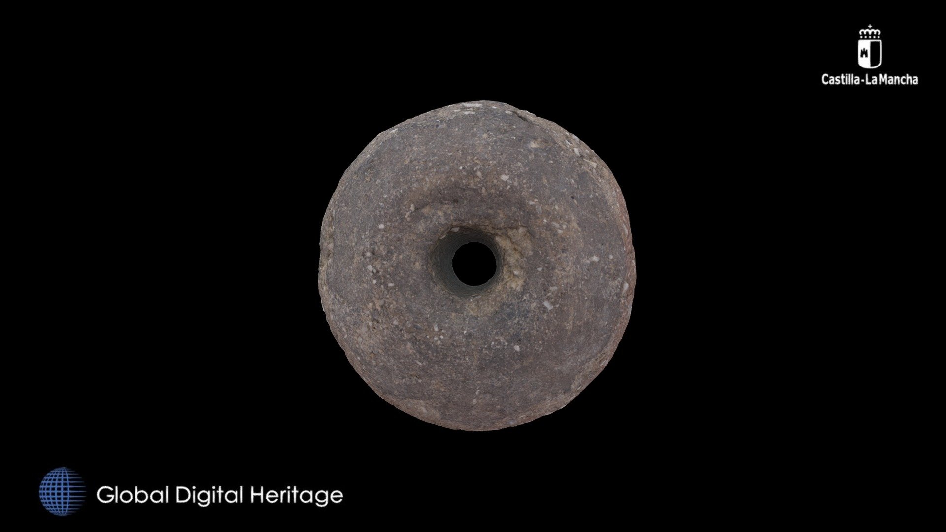
Clay spindle whorl, Alarcos, Ciudad Real
124,632 faces
Free
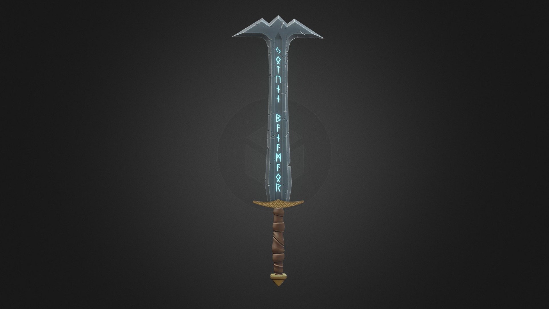
Mountain Blade
2,678 faces
Free
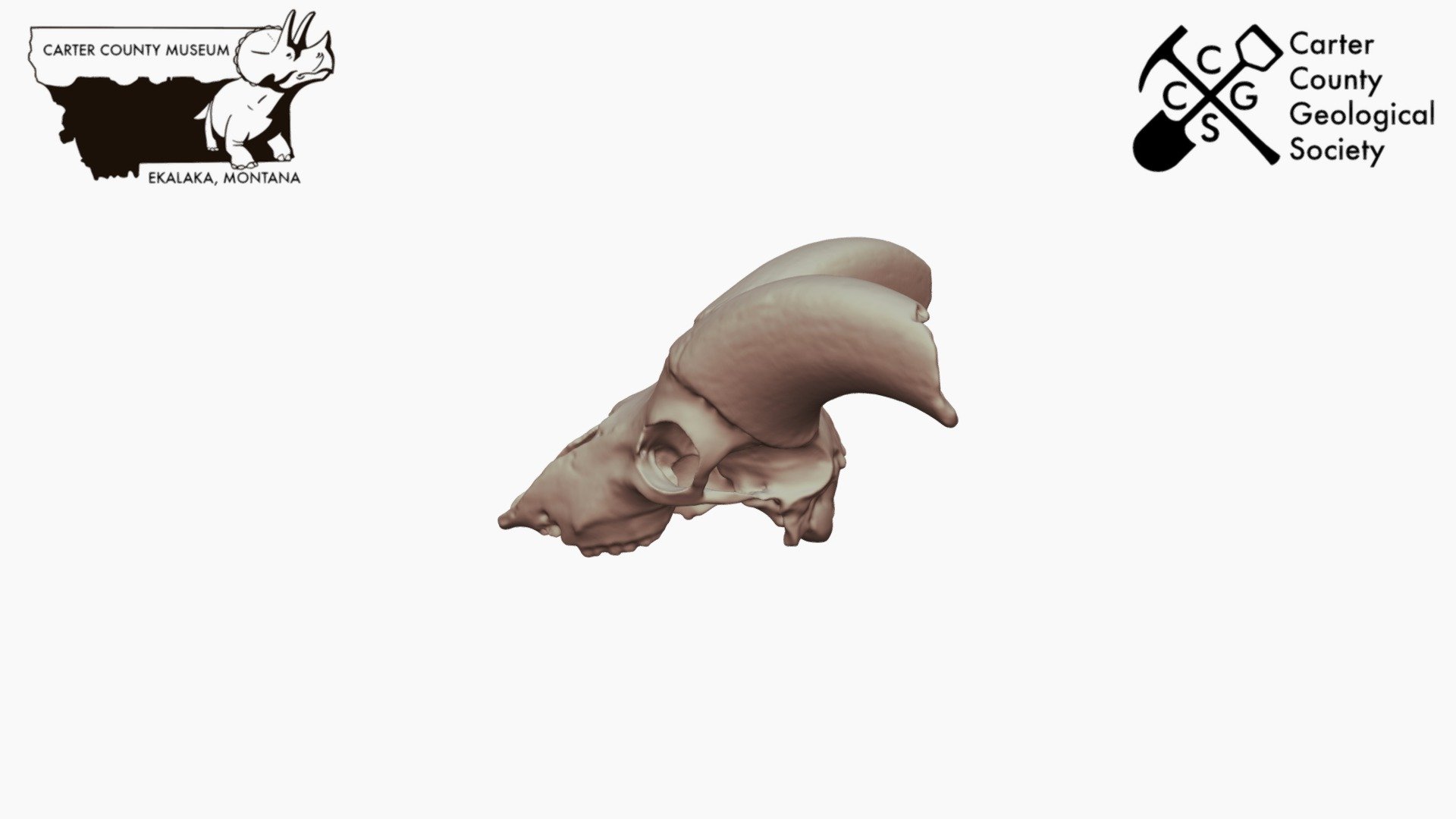
Badlands Bighorn *Downloadable
1,328,248 faces
Free
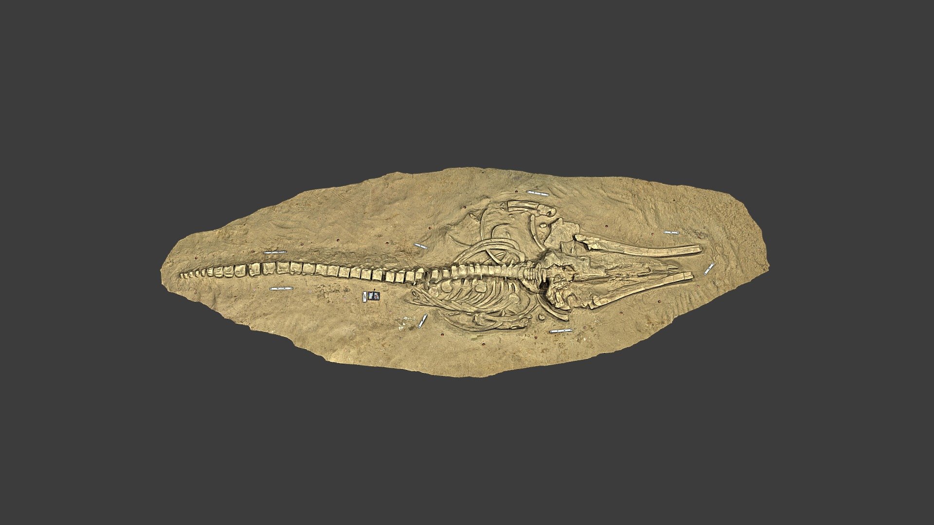
Fossil Whale MPC 677
149,999 faces
Free