Loading 3D models...
Day 99: 0.5 mile of trail - 1scanaday
by edemaistre in nature-plants
87,480
Faces
59,562
Vertices
0
Textures
Free
Download
Description
Okay so this one is a bit specific. I was playing Geocaching with the kids and I let my phone scan the trail we were walking on, for about 10 minutes. The total length is about 0.5 miles. I'll post a video on Twitter later one. This is a portion of the Bear Gulch Trail in the [Wunderlich County Park](https://www.google.com/maps/place/Wunderlich+County+Park/@37.4112567,-122.2689634,17.13z/data=!4m13!1m7!3m6!1s0x808fa41bfb8cadb3:0x94ce8ec07c6b0e1f!2sWoodside,+CA!3b1!8m2!3d37.4299388!4d-122.2538557!3m4!1s0x808fa42643dcef93:0x42f3ea411f4faf35!8m2!3d37.4097791!4d-122.2616583) (Woodside, CA) I assume we will soon have sensors/wearables (HUD or not) that will continuously scan our surrondings as we move. Scanned with the iPhone12 Pro and Polycam.ai. Please feel free to follow my collection of [daily scans](https://skfb.ly/6YuwK) as well as my [San Francisco Street Art scans](https://skfb.ly/6YuwJ). You can follow the tag #1scanaday.
Technical Details
Related Models

Trilhos Trail v02
167,268 faces
Free

Cemetery Statuary - Hey, Zeus! no.1
112,279 faces
Free
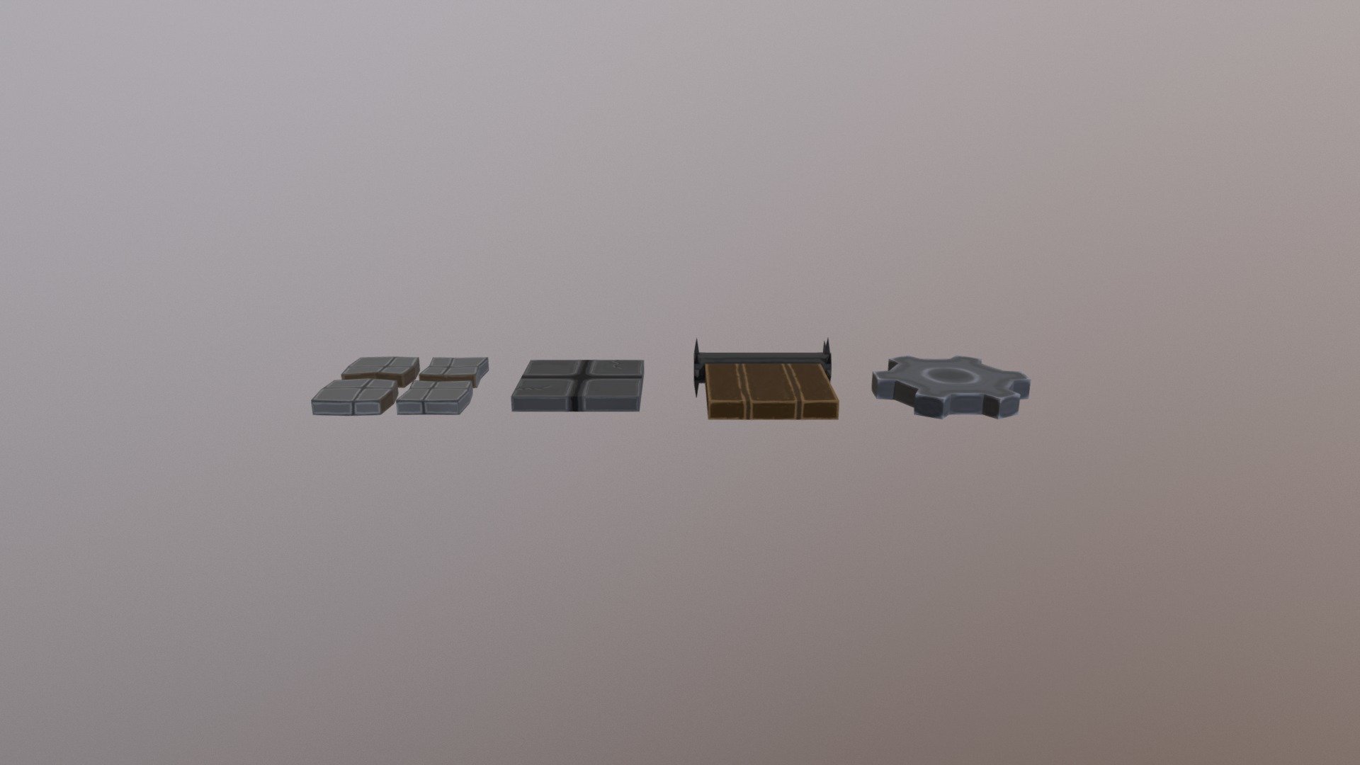
Platforms- Display
3,972 faces
Free

flower
896,189 faces
Free
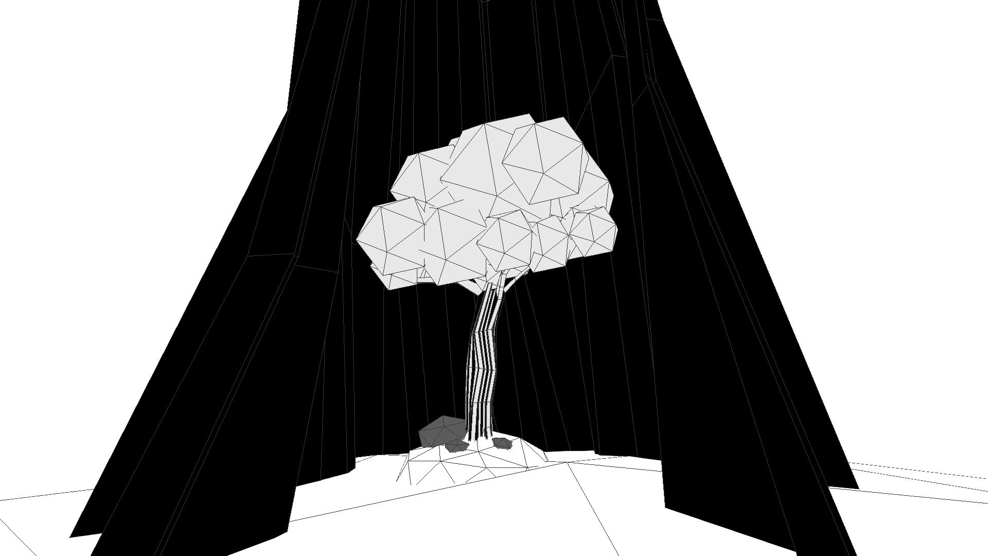
3D Inktober 2019, Day 14 - Overgrown
2,462 faces
Free

Day 167: Space Cowboy mural - 1scanaday
467,588 faces
Free
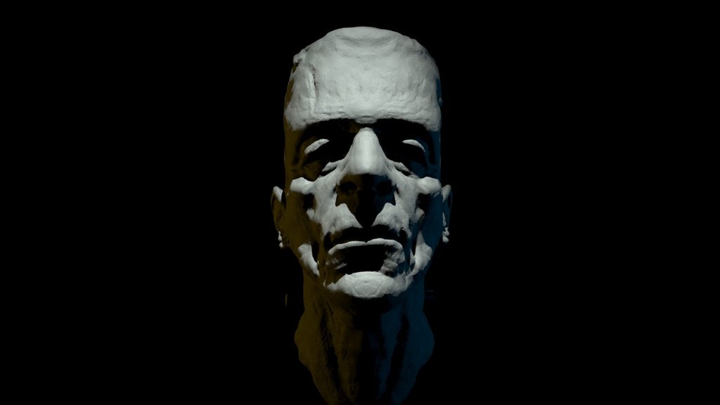
Monster
370,554 faces
Free
OC October - 13: Amoled
173,546 faces
Free