Loading 3D models...
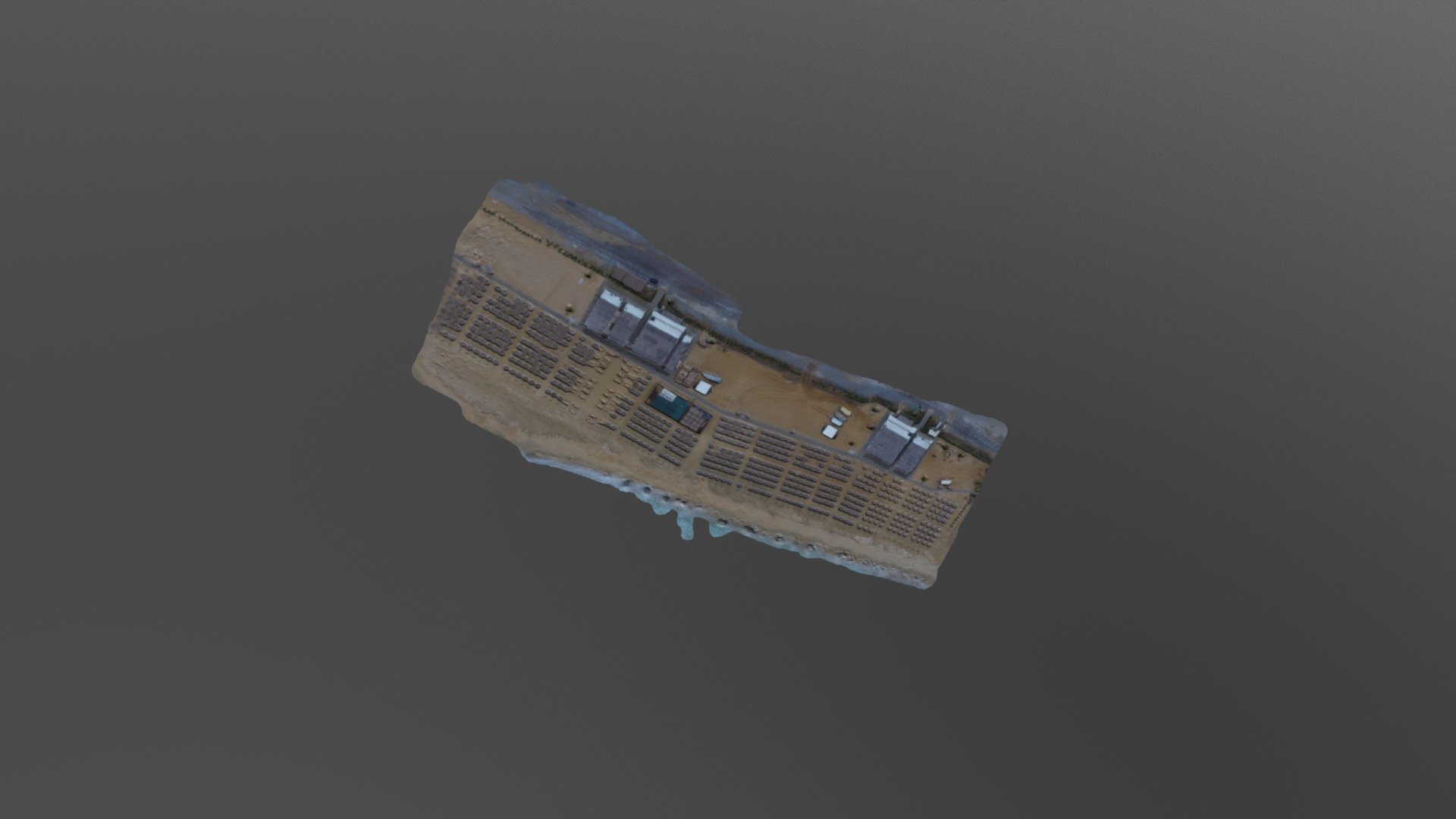
Directly Georeferenced Hyperspectral Point Cloud
by arsl in science-technology
0
Faces
539,148
Vertices
0
Textures
Free
Download
Description
First test of displaying a DHCP as a .ply - fusion of UAV hyperspectral imagery with a digital surface model generated from structure from motion photogrammetry. For details about the methodology see: Inamdar, Kalacska, Arroyo-Mora, Leblanc. The Directly-Georeferenced Hyperspectral Point Cloud: Preserving the Integrity of Hyperspectral Imaging Data 2021 Frontiers in Remote Sensing - Data Fusion 2:675323 https://doi.org/10.3389/frsen.2021.675323 Inamdar, Kalacska, Leblanc, Arroyo-Mora. Implementation of the directly-georeferenced hyperspectral point cloud 2021 MethodsX 8:101429 https://doi.org/10.1016/j.mex.2021.101429