Loading 3D models...
Ingenuity Flight 12 path based on NAVCAM images
by mebalzer in science-technology
58,112
Faces
29,606
Vertices
0
Textures
Free
Download
Description
The latest Ingenuity flight 12 terrain mesh created from a series of NAVCAM images. The model had to be broken up into two models since NASA JPL did not provide a large series of images at the start of the flight, so a separate photogrammetry process was done with last 25 images to ensure the landing was captured. I had to speculate the path of most of the start of the flight, but I must assume the path were very similar to ensure reliability. As NASA stated this was Ingenuity most complicated flight over a varied terrain with alternating elevations. A testament to the team and the tech & algorithms chosen on reliability and durability. The model is free, please provide Owl Creek Technologies & NASA JPL credit if you use it in your demonstrations or public viewing. These and other Mars 3D terrain & rock models will be included in "[Ingenuity in VR](https://ingenuityinvr.space)" due out on the 1st anniversary of Ingenuity's 1st flight.
Technical Details
Related Models
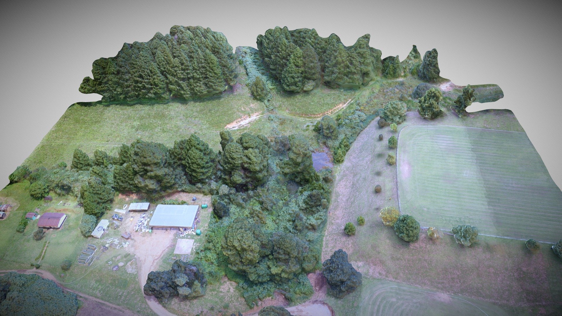
Clifton Notties February 2021
999,999 faces
Free

Los Pollos Hermanos(Actual Logo in .zip)
1,016 faces
Free
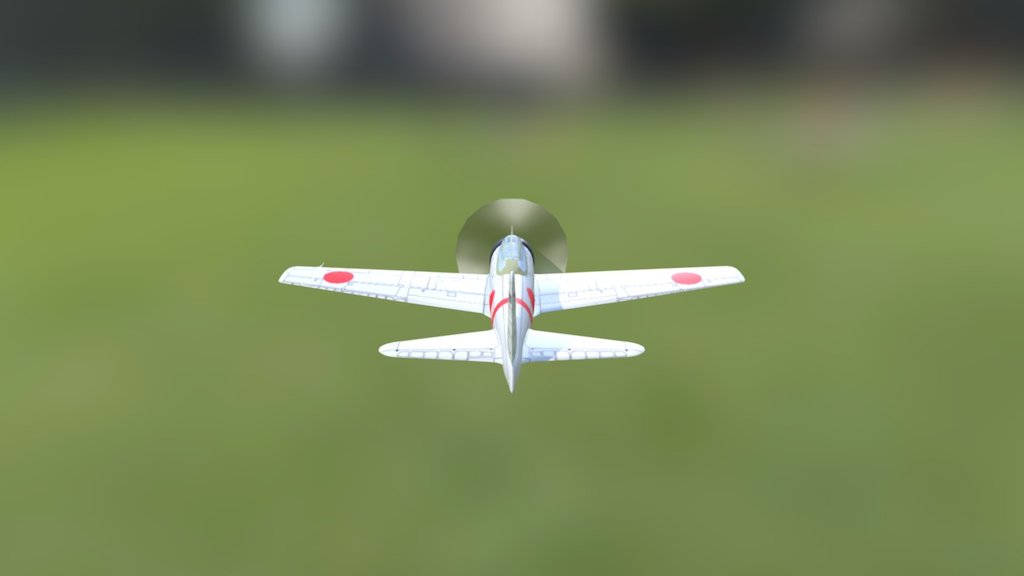
A6m3
24,332 faces
Free

Ducky
864 faces
Free
Stoney Path 5
236 faces
Free
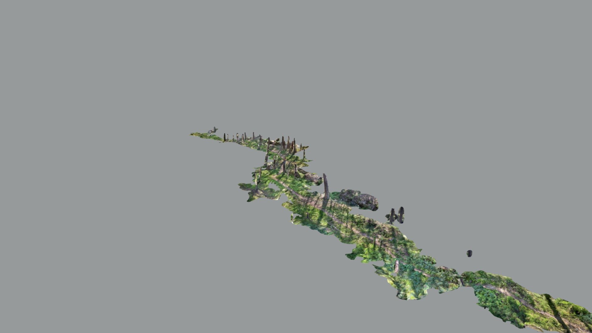
Forgotten forest in Norway
582,604 faces
Free
Bell UH-1 Iroquois (Huey)
98,481 faces
Free
Mars SOL-116 Terrain Area with Ingenuity
109,060 faces
Free