Loading 3D models...
KE065-127 Beaufort - Ogham
by CoKerry3D in cultural-heritage-history
590,753
Faces
296,092
Vertices
0
Textures
Free
Download
Description
[Source Text](http://webgis.archaeology.ie/historicenvironment/?SMRS=KE065-127) Standing beside a woodland path on the W bank of the Laune River to the SE of Beaufort House. This is the present location of an ogham stone found near Camp (KE036-083----), on the Dingle peninsula, about the middle of the 19th century. It stands 1.25m high and is .48m wide x .2m thick and is currently orientated NS. A perforation near the top of the stone suggests that it may at one time have functioned as a gatepost. The surface of the stone is very rough and the inscription, particularly the vowels, is not easy to read. Macalister (1945, 169, no. 177) interpreted it as: CCILARI AV(I) ....COI VAG... Traces of a 2nd inscription are discernible near the top of one of the opposite angles. The letters ANI remain. (Cuppage 1986, no. 801)
Technical Details
Related Models

Gephyrocapsa oceanica RCC1314 coccosphère
1,456,602 faces
Free
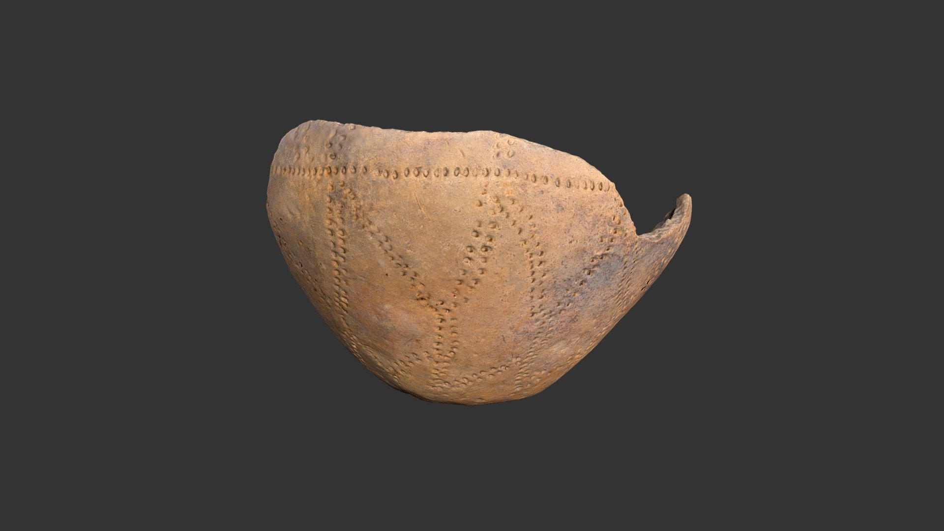
Oldtown Punctated Bowl (2388p658,p660)
1,260,276 faces
Free
Modelo: Lote 127
191,187 faces
Free
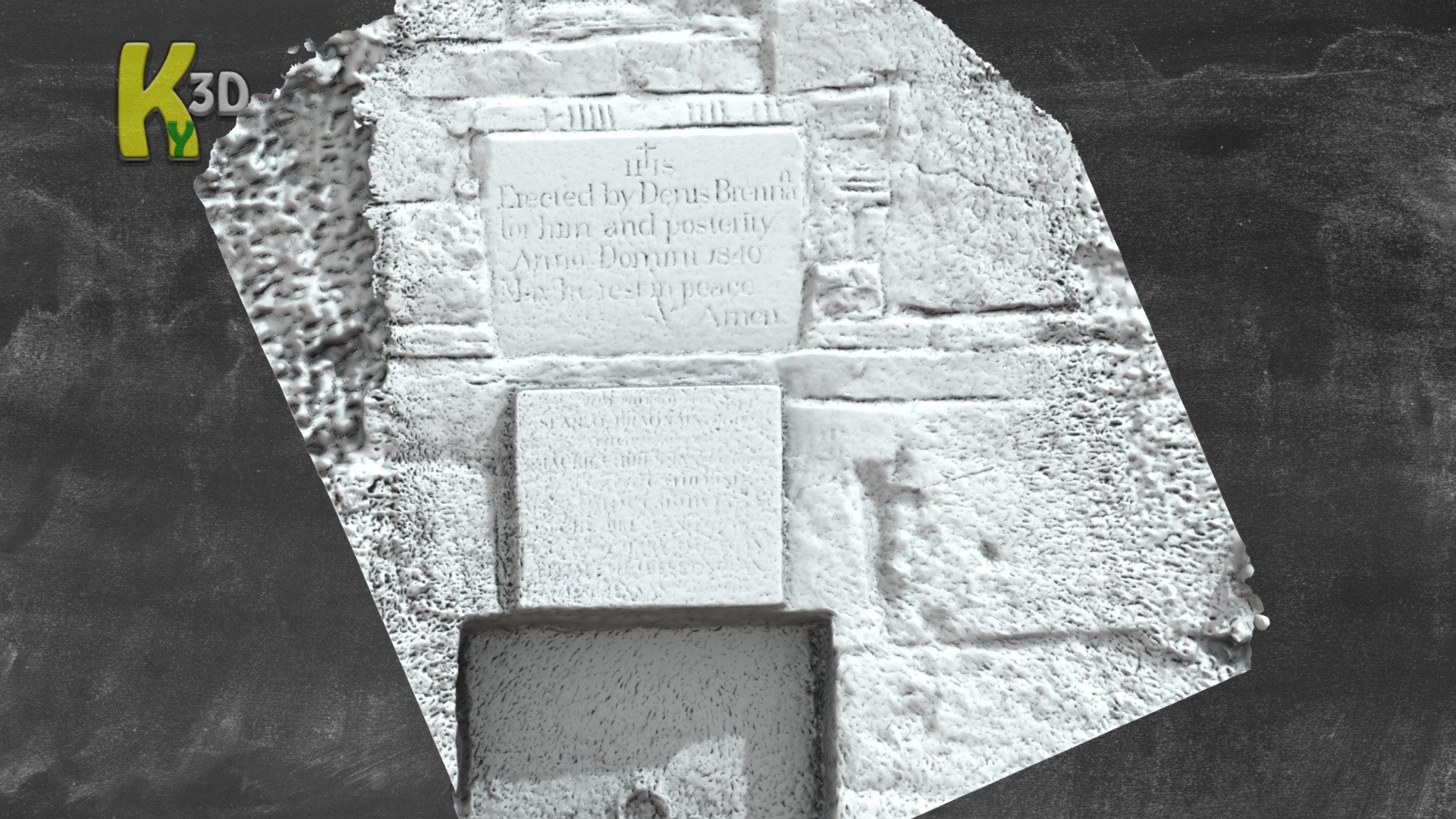
KE014-089002 - Kilmoyly South - Ogham Stone
456,735 faces
Free
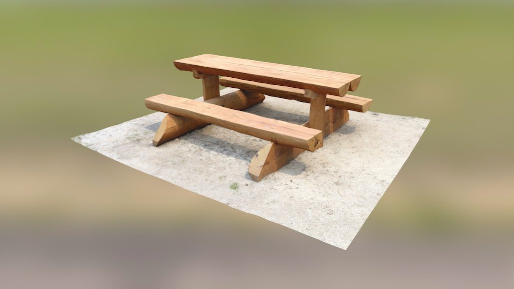
Wooden sitting at the Brno dam
27,275 faces
Free
PNRP_B_5_35_127.3
180,000 faces
Free

UWYMV:Mamm:127, Pipistrellus subflavus, mandible
1,990,534 faces
Free
127 Mes (knife as on Jeroen Bosch' painting)
52,088 faces
Free