Loading 3D models...
Mouquet Farm, Western Front
by WhiteStarLine
99,105
Faces
49,938
Vertices
0
Textures
Free
Download
Description
Pozieres shed and civilian cemetery visible on SE corner. Diagonal road running towards Thiepval (NW corner, out of frame). Mouquet Farm is in the centre, vertical exaggeration 1:7 * Generator: [DEM Net Elevation API](https://elevationapi.com) * Mesh reduction: [geometry3Sharp (GradientSpace, Ryan Schmidt) BSL 1.0 License](https://github.com/gradientspace/geometry3Sharp/blob/master/LICENSE) * Digital Elevation Model: [IGN](https://ign.fr) * Imagery: [MapTiler Cloud Satellite](https://www.maptiler.com)
Technical Details
Related Models

L-tectonite
1,680,264 faces
Free
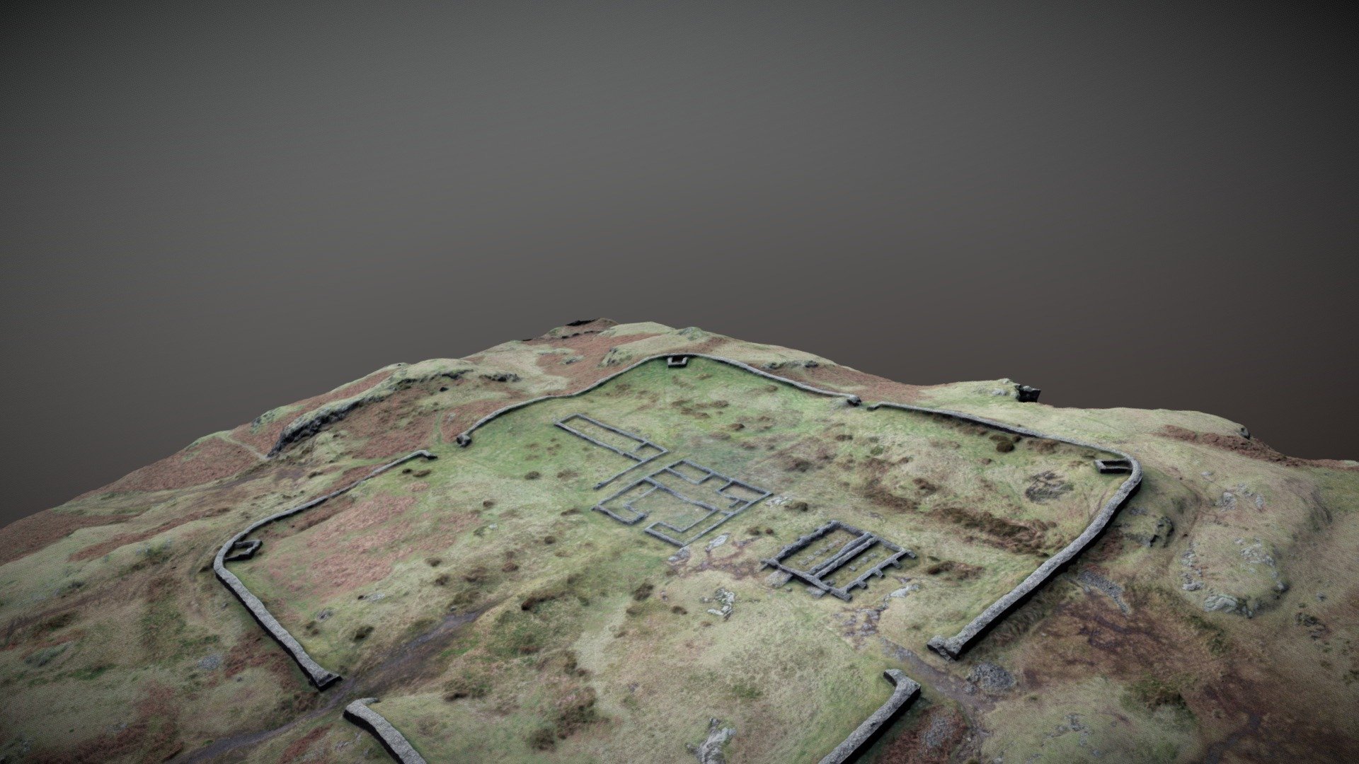
Hardknot Roman Fort
1,192,821 faces
Free
Saadi Farm Dam
61,703 faces
Free
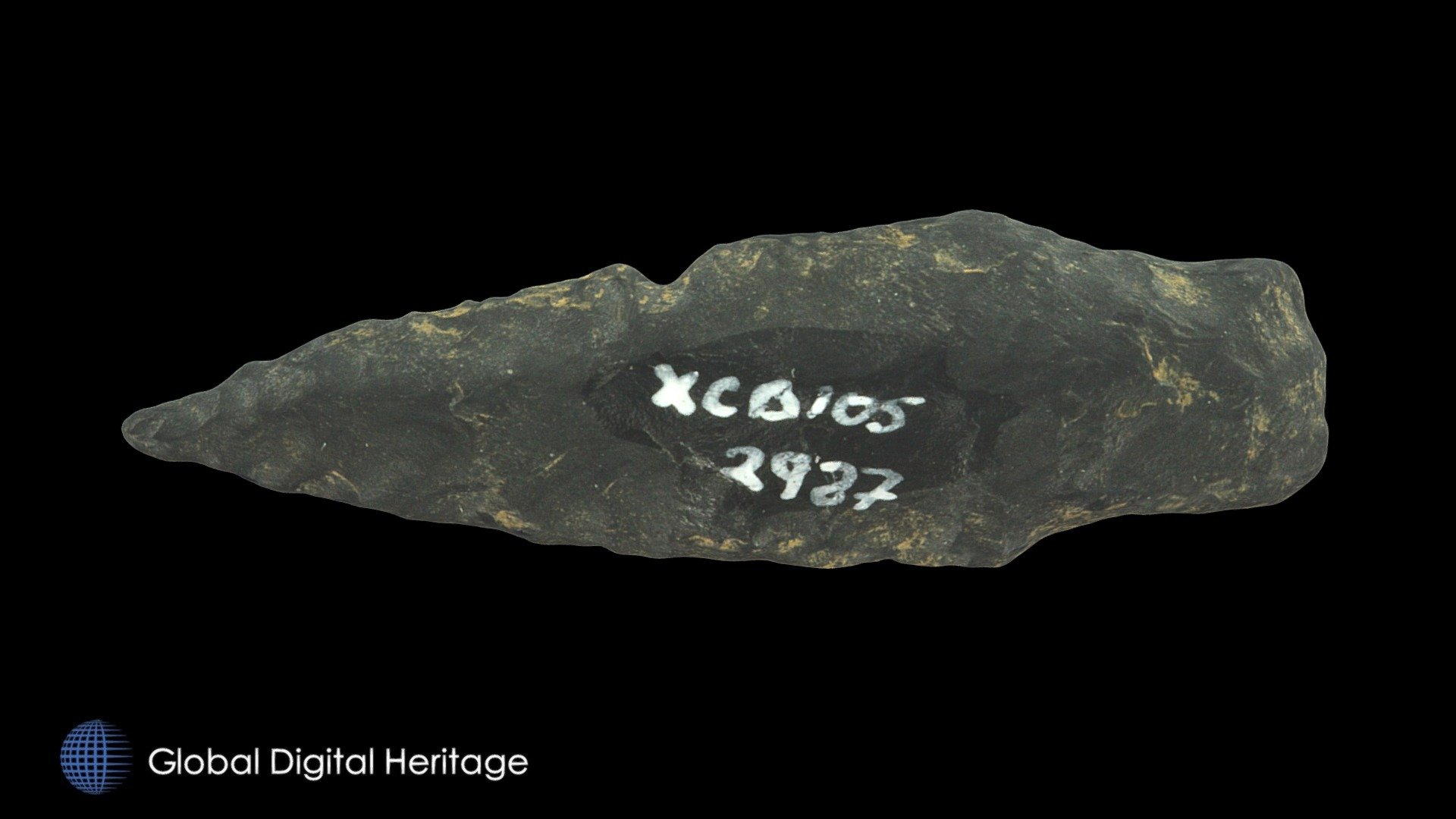
Arrow Point / End Blade XCB-105-2987
114,518 faces
Free
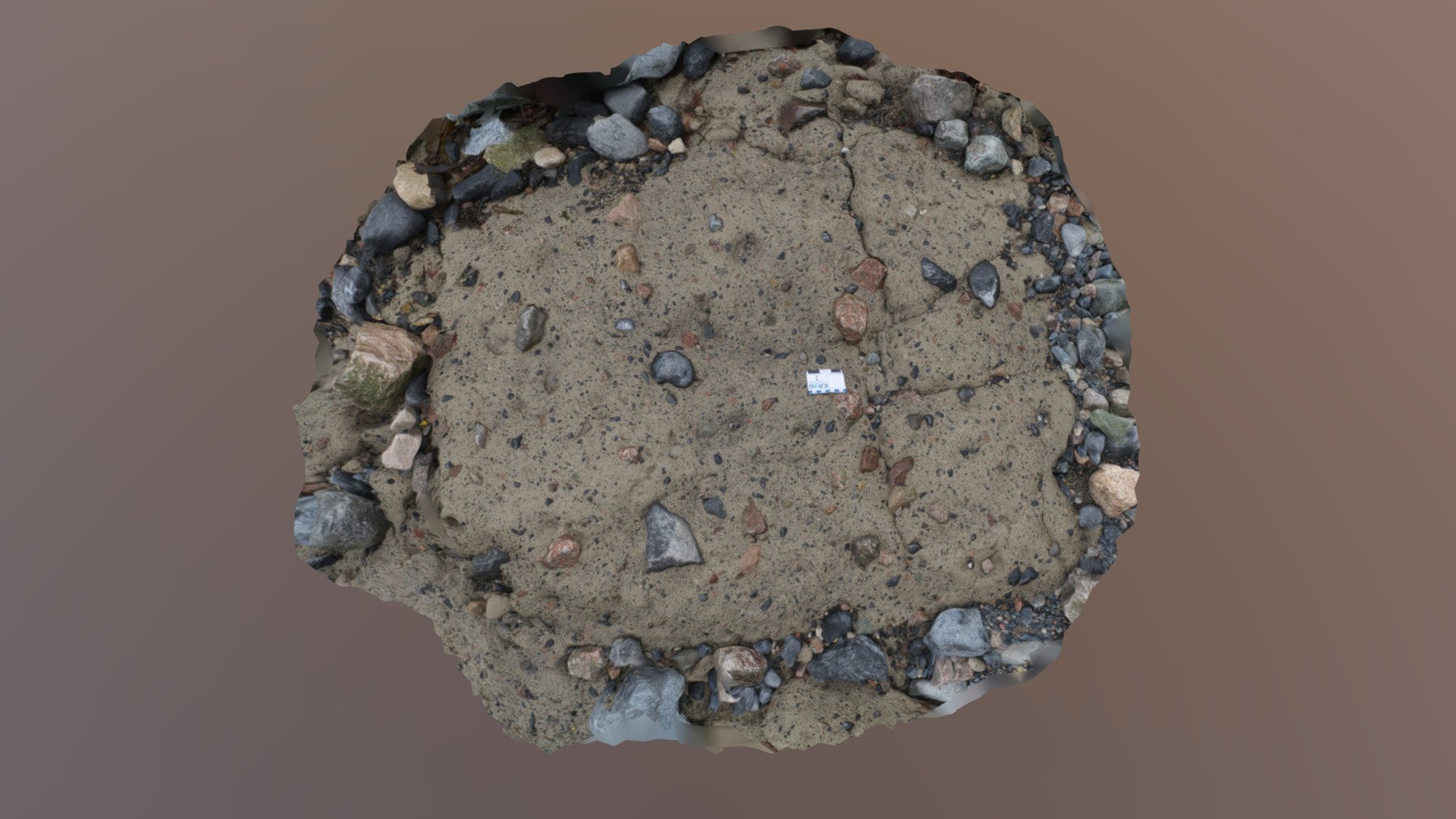
Till
30,000 faces
Free

Cucumber (Game Ready / 2K PBR)
1,280 faces
Free
Double Barrel Shotgun
998 faces
Free
Mylonitic shear zone with felsic & mafic layers
6,705,221 faces
Free