Loading 3D models...
Dunhill ICW March 2018
by naloac
999,999
Faces
499,748
Vertices
0
Textures
Free
Download
Description
This render, taken with a DJI Mavic Pro and processed in Pix4D, provides an overview of the Dunhill Village ICW and lands immediately surrounding it. Some annotation is also provided, highlighting key points of interest, including the initial receiving area, treatment cells, river window and monitoring points. There are some errors with the rendering of open water. This is due to there being no tie points available over water as it is too homogenous, hence the "turbulent" appearance.
Technical Details
Related Models

Mercedes-Benz E-Class (W212)
204,662 faces
Free
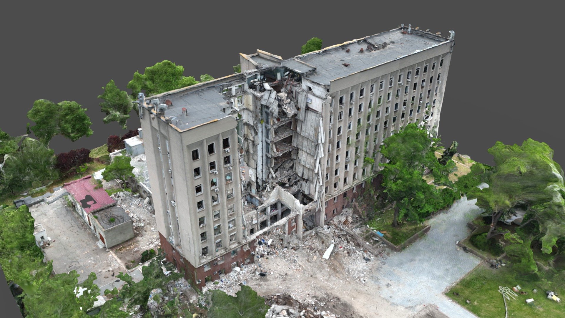
Mykolaiv Regional State Administration
464,024 faces
Free
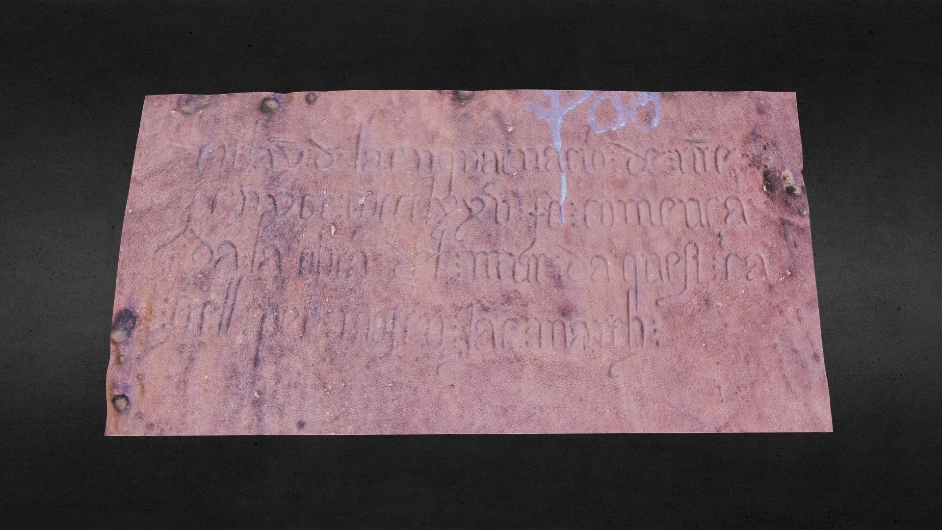
Inscripción del Castillo de Eramprunyà
76,168 faces
Free
Pottery Shard, Large: Practice
14,204 faces
Free
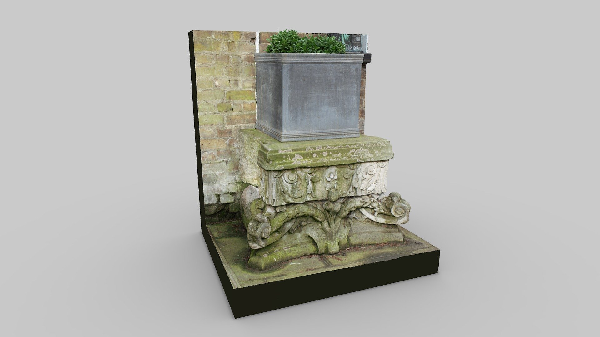
Cleary Garden Capital Stone
1,000,086 faces
Free
Elected Sacrifice
15,603 faces
Free

Nature's Shield - Unity Community Art Challenge
4,985 faces
Free
Hua Chai_31 March 2022
84,473 faces
Free