Loading 3D models...
Whareongaonga Landslide 21st December 2021
by gns.science in cultural-heritage-history
4,899,926
Faces
2,572,546
Vertices
0
Textures
Free
Download
Description
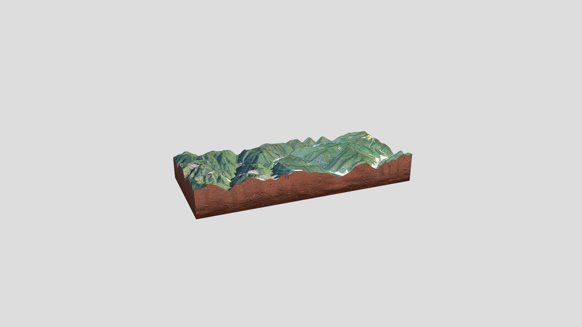
In the week before Christmas, the GNS Engineering Geology team travelled to Gisborne to survey the large landslide at Whareongaonga, south of Gisborne, that was triggered by heavy rain in November. The landslide and others adjacent to it undermined the already damaged Wairoa to Gisborne rail line and buried several wahi tapu sites including a historic Ngāi Tāmanuhiri pā site, Māra kai (food gardens) and taunga ika (fishing grounds). The team used our new LiDAR (Light Detection and Ranging) drone (UAV) to capture high resolution topographic data of the landslides. LiDAR is a remote sensing method that uses light in the form of a pulsed laser to measure distances to the Earth surface, and enables us to build a high resolution (1 m) 3D model of the ground surface. The data will be used to determine the volume of the landslide – both the material evacuated from the source area, and deposited downslope and in the sea, and to interpret the processes involved in the landslide initiation and movement.
Technical Details
Related Models
Apollo 11 Lunar Landing Site
719,180 faces
Free
Venus of Willendorf 21st century (pointcloud)
0
Free
Greyfriars Church, Port of Spain (Demolished)
0
Free
Sungho Cho – Korea południowa/Niemcy
173,076 faces
Free
A train derailment by a landslide
264,192 faces
Free

kevin the kittin 21st September 2020
714,376 faces
Free
FMAAP 2013 Logo
284,316 faces
Free
Main4
372,625 faces
Free